Antártica Chilena Province, Administrative province in Magallanes Region, Chile
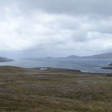
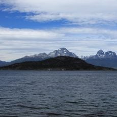
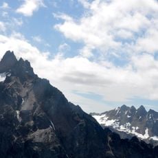
Antártica Chilena Province is a vast administrative territory in southern Chile extending from the tip of Tierra del Fuego to Chile's territorial claims in Antarctica. The region encompasses both the subantarctic islands off the coast and the distant continental territory it claims further south.
The province received its current administrative status in 1940 through an official decree that established Chile's formal claim to Antarctic territory. This administrative step marked an important moment in Chile's efforts to define its southern boundaries and territorial claims.
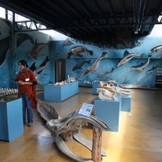
The region hosts research stations where scientists from multiple nations work year-round studying climate, marine life, and rock formations. Visitors can see this international scientific community at work and understand how cooperation happens in one of Earth's harshest environments.
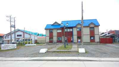
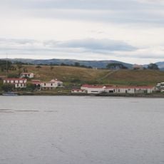
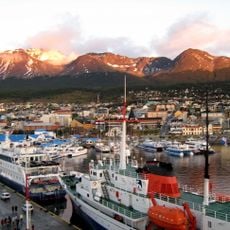
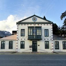
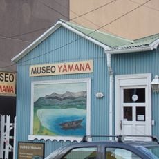
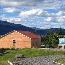
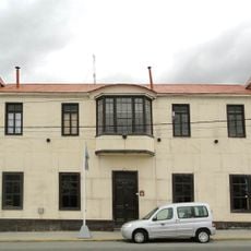
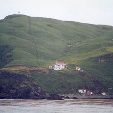
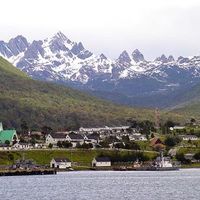
Puerto Williams, the provincial capital, serves as the main gateway for expeditions to Antarctica and is accessible for those wanting to explore the region. Most visitor activities are seasonal, so it helps to check ahead about the best timing and any gear you might need.
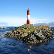
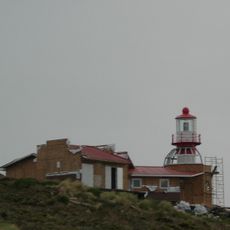
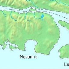
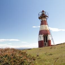
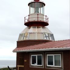
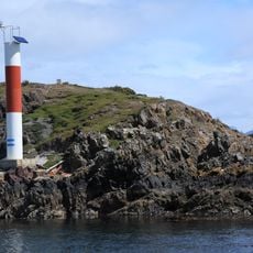
The territory includes Cape Horn and the Diego Ramírez Islands, two geographically extreme places that have captivated adventurers for centuries. Visitors who reach these islands and the cape enter some of the hardest-to-reach inhabited points in the southern hemisphere.
The community of curious travelers
AroundUs brings together thousands of curated places, local tips, and hidden gems, enriched daily by 60,000 contributors worldwide.