Cerro Pico Truncado, Granite summit in Santa Cruz Province, Argentina
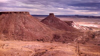
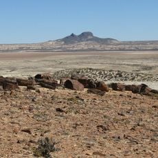
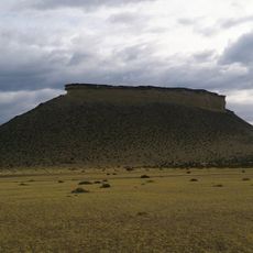
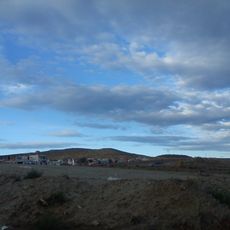
Cerro Pico Truncado is a granite summit with a distinctive truncated cone shape visible from great distances across the Patagonian landscape, rising to approximately 297 meters. Its form and location make it a prominent feature of the surrounding terrain.
The mountain was identified and named in 1889 by explorer Carlos V. Burmeister during his expedition through the Deseado Valley for the National Museum of Buenos Aires. This early scientific exploration documented the landscape and its geographic features for further research.
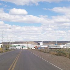
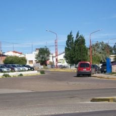
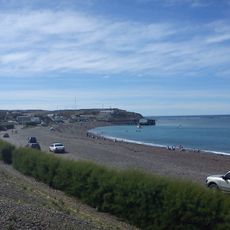
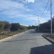
The mountain serves as a landmark for local communities and stands near the city of Pico Truncado, which grew into a major center for oil and gas production. People in the area use it as a natural navigation point across the wide Patagonian landscape.
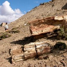
The summit is accessible via hiking trails that connect with Provincial Route 12 and requires proper hiking equipment and weather monitoring. Visitors should prepare for variable conditions and the exposed nature of the surroundings.
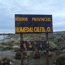
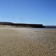
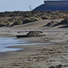
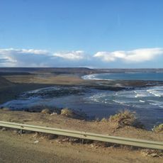
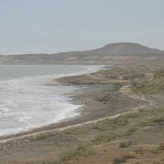
The summit displays characteristic reddish soil coloration that stands out against the surrounding landscape. From the top, visitors can see views extending across the Reserva Hidrogeologica Meseta Espinosa y El Cordón, a natural reserve with diverse geological formations.
The community of curious travelers
AroundUs brings together thousands of curated places, local tips, and hidden gems, enriched daily by 60,000 contributors worldwide.