Playa Bahía Lángara, Coastal beach in Santa Cruz, Argentina
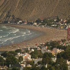
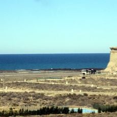
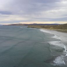
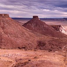
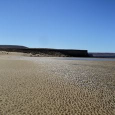
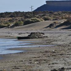
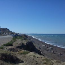
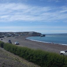
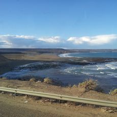
Playa Bahía Lángara is a wide open bay on the Atlantic in the San Jorge Gulf basin, about 22 km south of Caleta Olivia. Its north limit lies near the mouth of the Cañadón del Algarrobo and its south limit at Punta Murphy. The coast is generally straight, backed by Pleistocene marine terraces about 20 metres high cut by several ravines, with large dune accumulations behind the shore.
The beach was named in 1789 during a Spanish cartographic expedition led by Alejandro Malaspina. This name honors Spanish naval officer Juan Cayetano de Lángara.
This beach serves as a gathering place for people from nearby towns who come here during warmer months to spend time by the water. It holds a simple, everyday role in the lives of local residents.
The beach lies 22 km south of Caleta Olivia, between the mouth of the Algarrobo gully to the north and Punta Murphy to the south. It sits south of Los Sauces, SUPE and La Zaranda beaches and north of Playa Barco Hundido. Sea conditions are posted with flags. The Pleistocene marine terraces rise about 20 m above the shore.
The bay's name was given in 1789 by the Malaspina expedition, honouring the Spanish sailor and cartographer Juan Cayetano de Lángara y Huarte. Its northern limit lies near the mouth of the Cañadón del Algarrobo and its southern limit at Punta Murphy, 22 km south of Caleta Olivia.
The community of curious travelers
AroundUs brings together thousands of curated places, local tips, and hidden gems, enriched daily by 94,035 contributors worldwide.