Santa Cruz Province, Southern province in Patagonia, Argentina
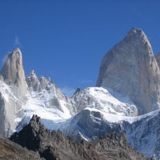
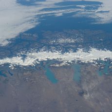
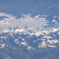
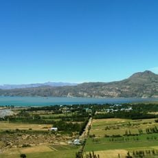
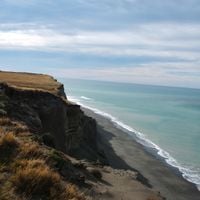
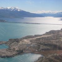
This territory stretches from the Atlantic coast to the Andean range and covers more than 243,000 square kilometers (93,900 square miles) with glacial lakes and dry plateaus. The region connects shoreline with mountain ranges and forms the second largest province in the country.
The area was organized in 1884 as part of the National Territory of Patagonia and received its status as a separate province in 1955. Before government control, Tehuelche communities roamed these lands for centuries.
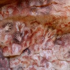
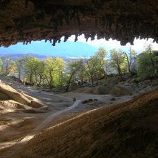
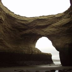
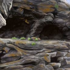
The cave paintings show hands pressed against stone walls alongside hunting scenes that travelers can see on rock shelters. These images were left by groups who lived here thousands of years ago and recorded their experiences.
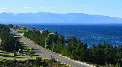
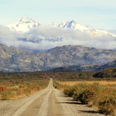
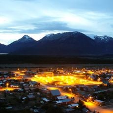
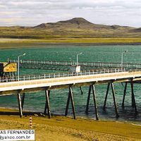
Río Gallegos serves as a starting point for trips across the region and sits near the Chilean border. Distances between places can be considerable, so visitors should plan enough travel time.
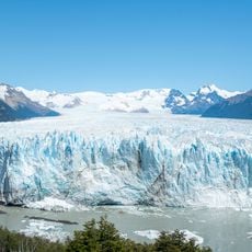
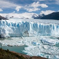
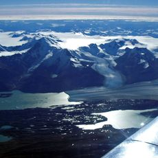
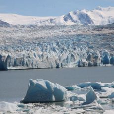
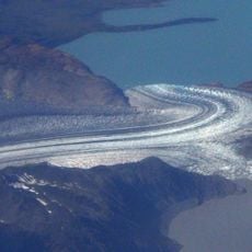
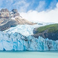
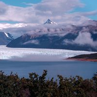
The Perito Moreno glacier regularly pushes across a lake and forms a natural dam made of ice. When this dam breaks, it creates a spectacle of falling ice and water that visitors can watch.
The community of curious travelers
AroundUs brings together thousands of curated places, local tips, and hidden gems, enriched daily by 60,000 contributors worldwide.