Los Glaciares National Park, National park in Santa Cruz Province, Argentina
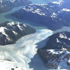
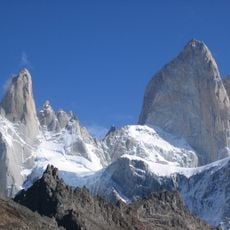
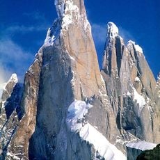
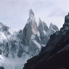
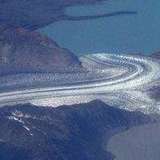
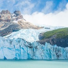
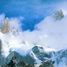
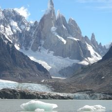
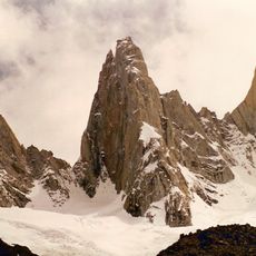
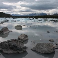
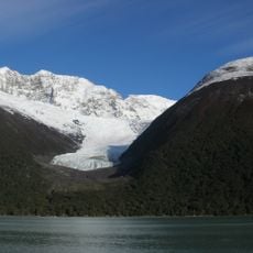
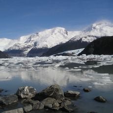
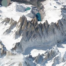
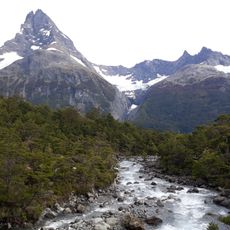
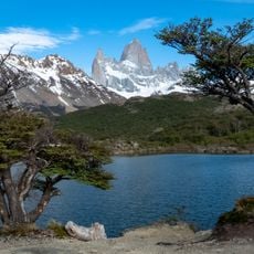
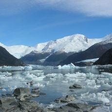
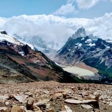
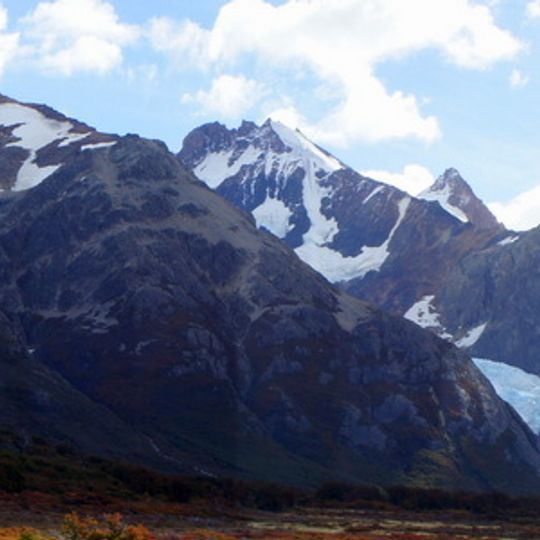
Los Glaciares is a protected area in Santa Cruz Province that stretches along the Andes and covers terrain from high mountains to wind-swept steppe. The park divides into two main zones, one in the north with sharp granite peaks and one in the south with large ice masses that flow into deep lakes.
The Argentine government created this protected area in 1937 to preserve the ice formations and surrounding wilderness from development. Four decades later, UNESCO recognized the importance of the landscape and added it to its World Heritage list in 1981.
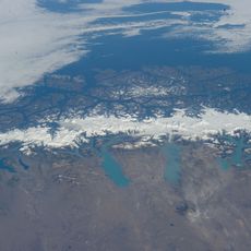
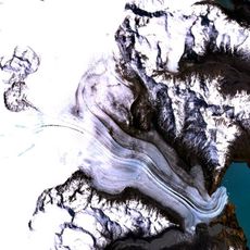
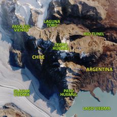
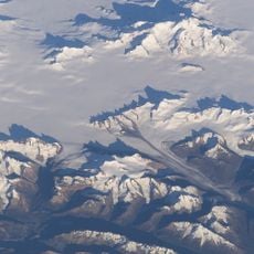
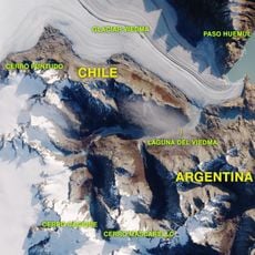
The name refers to the ice cap in the Andes, the largest outside Antarctica, Greenland and Iceland, which feeds 47 large glaciers; 13 of these flow towards the Pacific Ocean. The glaciers begin at only 1,500 m above sea level and descend to 200 m, lower than glaciers elsewhere. The park borders Torres del Paine National Park in Chile to the south.
Most travelers reach the southern zone through El Calafate and the northern zone through El Chaltén, both serving as starting points for hikes and boat trips. It helps to plan several days depending on your route, as distances between areas are considerable and weather can change quickly.
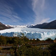
One of the ice masses repeatedly pushes against a peninsula and creates a natural dam that blocks the water of a lake until the pressure builds too high and the ice breaks through with a thunderous crack. This natural event happens irregularly, sometimes only every few years, and draws hundreds of onlookers to the shore walkways when it does.
The community of curious travelers
AroundUs brings together thousands of curated places, local tips, and hidden gems, enriched daily by 92,750 contributors worldwide.