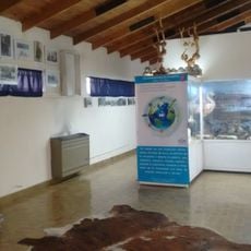
Parque provincial Península de Magallanes, Provincial park on Magallanes Peninsula, Argentina.
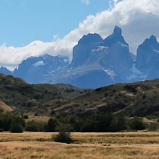
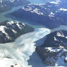
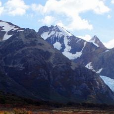
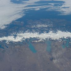
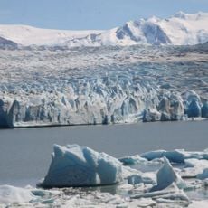
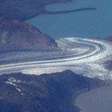
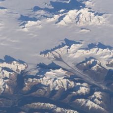
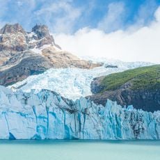
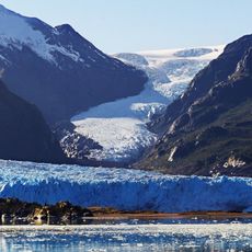
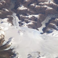
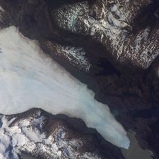
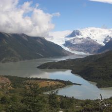
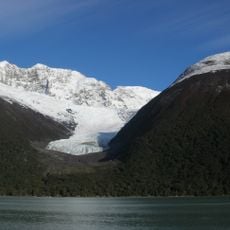
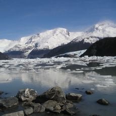
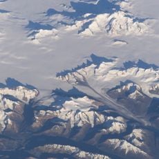
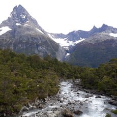
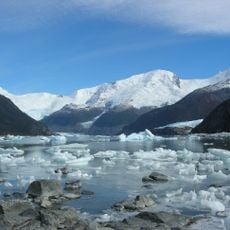
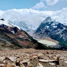
Parque provincial Península de Magallanes is a 38,900-hectare protected area covering most of the Magallanes Peninsula in Lago Argentino Department, Santa Cruz. The peninsula is bounded north and west by Lake Argentino and rises to three Andean foothill ranges, including Cerro Buenos Aires at 1,602 m. The Perito Moreno Glacier lies just outside the park, but its western sectors offer views of the glacier and the canal de los Témpanos.
Santa Cruz created the park on 10 June 1993 by provincial law 2316, with a management plan endorsed by then-governor Néstor Kirchner. Law 2662/03 later split it into the park and the South and North reserves. Its aim was to keep the wild character of the corridor to the Perito Moreno Glacier and buffer Los Glaciares National Park. The land is private, divided into 42 holdings, and owners sued the province over use limits.
The name comes from the Magallanes peninsula, named after the Strait of Magellan; the park itself has no villages, and its only access points are Puerto Bahía Tranquila and Punta Bandera to the northeast and the Perito Moreno glacier area to the southwest. Visitors today cross private estancias on the way to the glacier walkways.
Access to the park runs through Provincial Route 11, which leads to viewing platforms near the glacier. Weather in this Patagonian region changes quickly, so visitors should bring appropriate clothing and gear for shifting conditions.
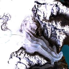
The Perito Moreno Glacier periodically advances and creates a natural ice dam that blocks water flow in the lake. This rare dynamic causes water levels to shift significantly, reshaping the landscape over time.
The community of curious travelers
AroundUs brings together thousands of curated places, local tips, and hidden gems, enriched daily by 94,425 contributors worldwide.