Viedma Glacier, Glacier in Magellan and Chilean Antarctic Region, Chile and Argentina.
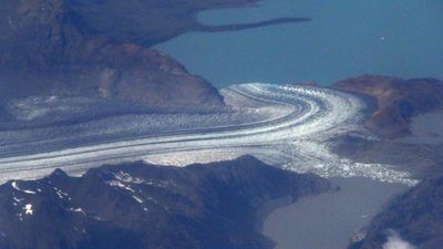
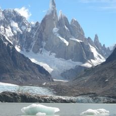
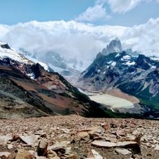
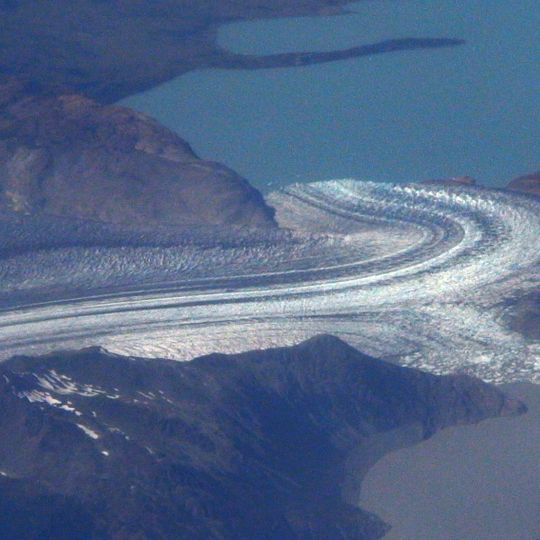
The Viedma Glacier is a vast river of ice spanning the southern Patagonian landscape, flowing down to terminate at Lake Viedma. Its surface displays varied textures and crevasses formed by the continuous movement of the ice mass.
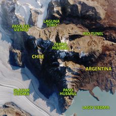
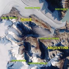
The Viedma Glacier drains the eastern slope of the Southern Patagonian Ice Field, one of 48 outlet glaciers there with more than 20 km² of ice. Its lower and eastern sector lies in Los Glaciares National Park, declared a World Heritage Site in 1981; the northern sources are in Bernardo O'Higgins National Park. The middle sector crosses the undemarcated area covered by the 1998 agreement between Argentina and Chile from Monte Fitz Roy to Cerro Daudet.
The glacier's name comes from Lake Viedma, which it feeds with meltwater; the lake in turn honours the 18th-century Spanish explorer Francisco de Viedma. Boat trips to the terminus leave from Bahía Túnel, 18 km from El Chaltén, the tourist village that bases most visits to the ice.
Boat trips to the glacier front leave from the Bahía Túnel pier, 18 km from El Chaltén; the catamaran crossing of the lake and front takes two and a half hours. A six-hour option combines the boat with a 400 m walk on the ice using crampons, and a nine-hour option adds ice climbing. The front is 2.5 km wide and 50 m high.
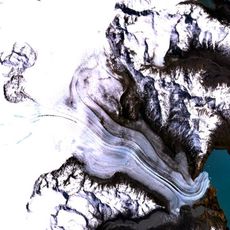
Dark parallel lines streak the white surface where debris-filled ridges mix with newly formed ice. These stripes tell the story of constant flow and successive layers that have accumulated over time.
The community of curious travelers
AroundUs brings together thousands of curated places, local tips, and hidden gems, enriched daily by 92,618 contributors worldwide.