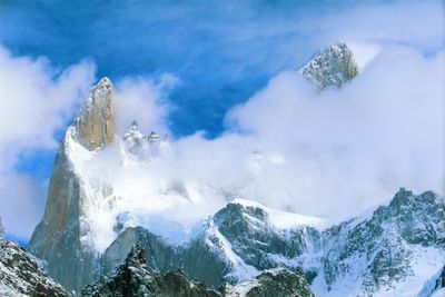
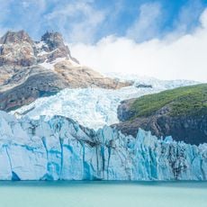
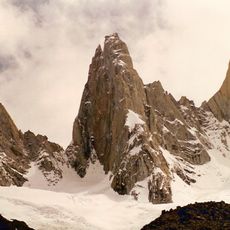
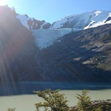
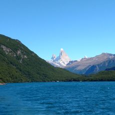
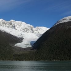
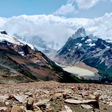
Aguja Poincenot, Granite mountain peak in Los Glaciares National Park, Argentina.
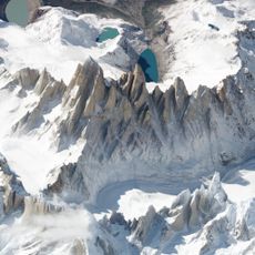
Aguja Poincenot is a granite peak standing at 3,002 meters (9,846 feet) within the Fitz Roy mountain range in Los Glaciares National Park. Multiple climbing routes run along its east face, offering different challenge levels for mountaineers.
Frank Cochrane and Don Whillans reached the summit in 1962, establishing the Normal Route on the east side. Italian climbers later developed the Southeast Pillar route in 1986, adding a more challenging option that solidified the peak's status as an international climbing destination.
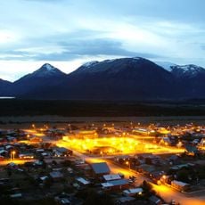
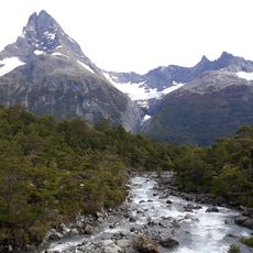
The peak draws climbers from around the world who gather in El Chaltén before attempting its rock routes. The local town has developed around this climbing culture and shapes the daily rhythm of the area.
The best time to visit is between November and February when weather is more stable and conditions favor technical climbing. El Chaltén serves as the main hub and offers accommodation and equipment services for climbers of all experience levels.
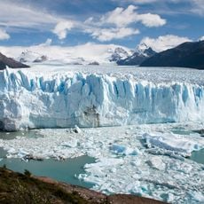
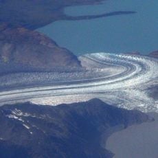
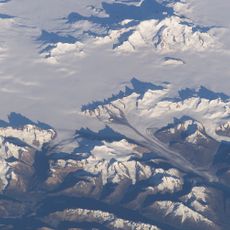
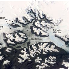
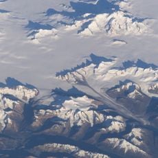
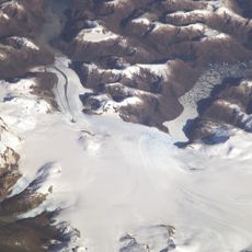
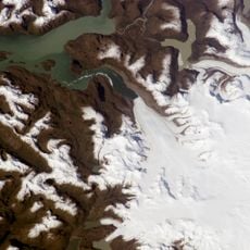
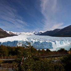
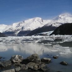
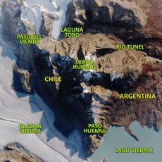
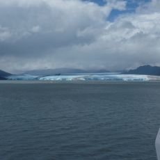
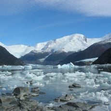
The summit offers a 360-degree view of surrounding glacier regions and the Patagonian steppe that few other peaks in the area provide. This perspective reveals the geographical diversity of one of South America's wildest regions.
The community of curious travelers
AroundUs brings together thousands of curated places, local tips, and hidden gems, enriched daily by 60,000 contributors worldwide.