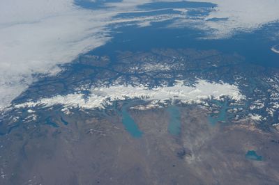
Southern Patagonian Ice Field, Glacier field in Magellan and Chilean Antarctic Region, Chile and Santa Cruz Province, Argentina.
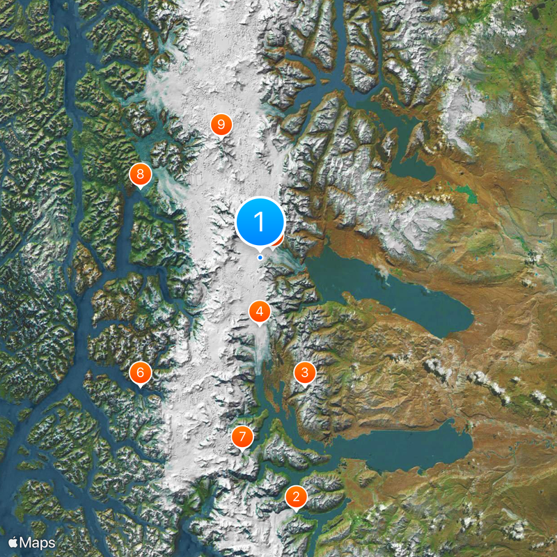
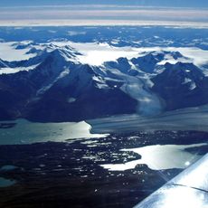
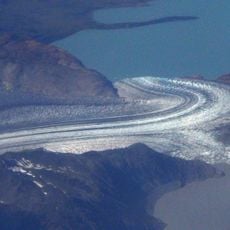
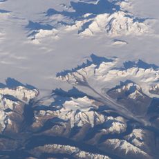
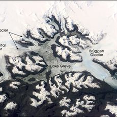
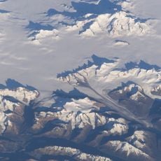
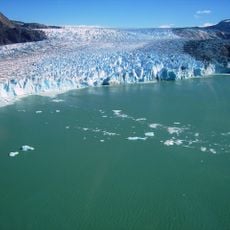
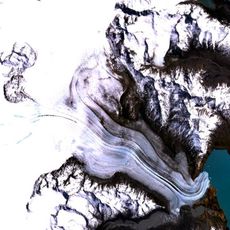
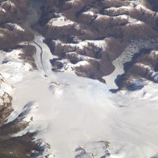
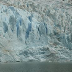
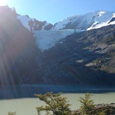
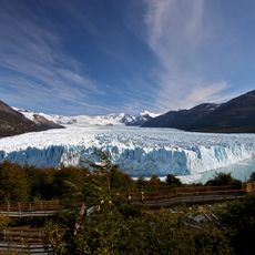
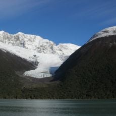
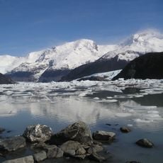
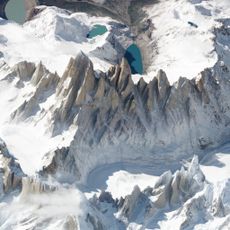
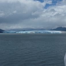
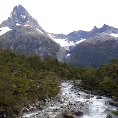
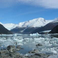
The Southern Patagonian Ice Field stretches across the border between Chile and Argentina with a network of glaciers flowing into deep fjords and mountain lakes. Central ice reaches heights above 1800 meters (5900 feet), while outlets end at sea level in valleys below.
European explorers mapped the edges of the ice field from the 16th century onward, but the interior remained uncharted until the 20th century. Systematic surveys began in the 1940s when border commissions tried to determine the watershed divide between both countries.
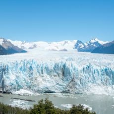
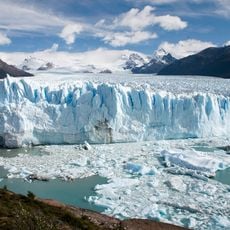
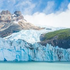
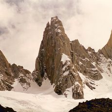
Local ranchers call the white peaks *Campo de Hielo* and use the shape of the ice walls to orient themselves when weather changes. The glaciers provide meltwater for rivers that supply settlements across the region.
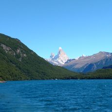
The best viewing conditions occur between November and March when longer daylight illuminates the ice and strong winds are less frequent. Light walking trails in the national parks are the most common way to approach, while glacier tours require experienced guides.
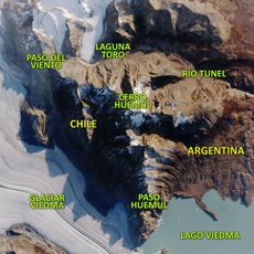
The ice field feeds glaciers that drain into different oceans: some reach the Pacific through Chilean fjords, others discharge into Argentine lakes that drain toward the Atlantic. This watershed divides the American continent from north to south.
The community of curious travelers
AroundUs brings together thousands of curated places, local tips, and hidden gems, enriched daily by 60,000 contributors worldwide.