Aysén Region, Administrative region in Northern Patagonia, Chile
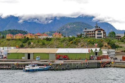
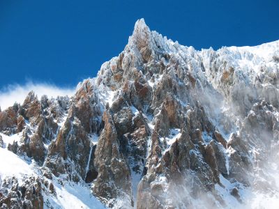
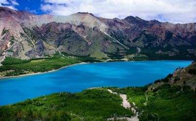
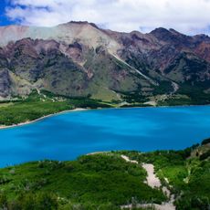
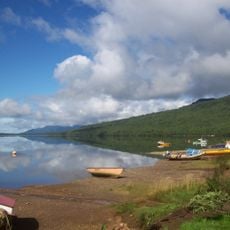
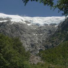
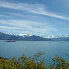
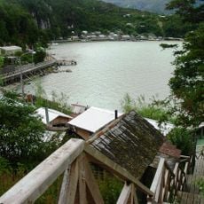
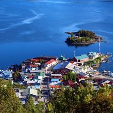
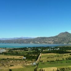
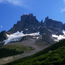
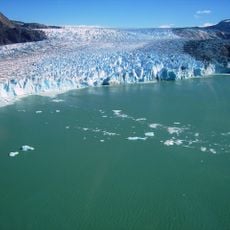
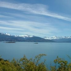
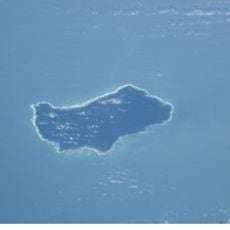
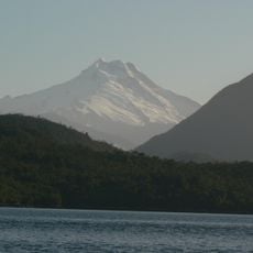
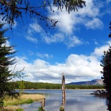
Aysén Region is an administrative territory in Northern Patagonia between the Pacific Ocean and Argentina, marked by extensive ice fields, fjords, mountains, lakes, and temperate rainforest. The landscape shifts from rugged coast with deep waterways to glaciated peaks inland.
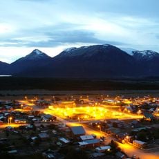
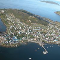
The territory remained sparsely settled until the late 19th century and attracted European immigrants following border agreements between Chile and Argentina in 1881. Development through roads and towns occurred only in the 20th century.
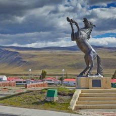
Residents maintain a blend of Chilean cuisine and Argentine traditions through asado prepared over open fires. In small communities, horses remain working animals and riders wear traditional gaucho clothing that belongs to local identity.
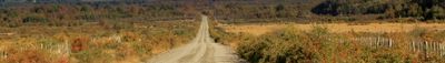
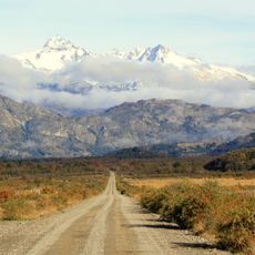
Travelers reach the territory through Balmaceda Airport or via the Carretera Austral, which stretches 1,240 kilometers (770 miles) from Puerto Montt to Villa O'Higgins. The road is mostly unpaved, and weather can shift quickly, so flexible travel planning is recommended.
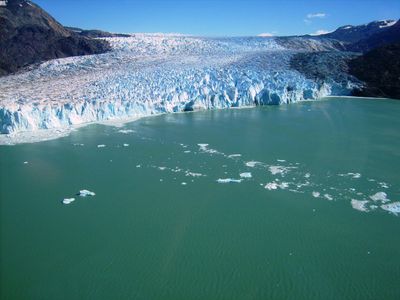
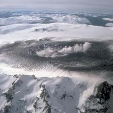
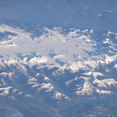
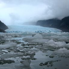
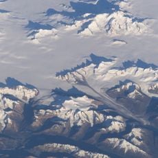
The Northern Patagonian Ice Field in the interior forms the third-largest continental ice mass on Earth after Antarctica and Greenland. Its meltwater feeds numerous rivers and lakes flowing through the territory.
Location: Chile
Capital city: Coyhaique
Elevation above the sea: 916 m
Reference: XI
Shares border with: Los Lagos Region, Magellan and the Chilean Antarctic Region, Chubut Province, Santa Cruz Province
Website: http://goreaysen.cl
GPS coordinates: -45.57000,-72.06611
Latest update: December 11, 2025 22:34
Carretera Austral
282.4 km
Catedral de Mármol
126.9 km
Balmaceda, Chile
47.4 km
Patagonia National Park
151.9 km
Villa O'Higgins
324.8 km
Puyuhuapi
143.9 km
Mount Hudson
74.4 km
Queulat National Park
134.7 km
Puerto Río Tranquilo
126.5 km
Laguna San Rafael National Park
197.3 km
Patagonia National Park
186 km
Northern Patagonian Ice Field
193.7 km
Caleta Tortel
272.8 km
Port Aguirre
122.6 km
Isla de Los Muertos
271.3 km
Puerto Ingeniero Ibáñez
81 km
San Rafael Glacier
185.5 km
Cerro San Lorenzo
225.8 km
Presidente Ibáñez Bridge
51.6 km
Parque Nacional Cerro Castillo
60.3 km
Volcán Lautaro
399 km
O'Higgins Glacier
381.3 km
Monte San Valentin
151 km
Villa Cerro Castillo
61.9 km
Parque Nacional Isla Guamblín
251.3 km
Cerro Macá
100.3 km
Coyhaique National Reserve
8.5 km
Aisén Fjord
80.7 kmVisited this place? Tap the stars to rate it and share your experience / photos with the community! Try now! You can cancel it anytime.
Discover hidden gems everywhere you go!
From secret cafés to breathtaking viewpoints, skip the crowded tourist spots and find places that match your style. Our app makes it easy with voice search, smart filtering, route optimization, and insider tips from travelers worldwide. Download now for the complete mobile experience.
A unique approach to discovering new places❞
— Le Figaro
All the places worth exploring❞
— France Info
A tailor-made excursion in just a few clicks❞
— 20 Minutes