Queulat National Park, National park in Aysén Region, Chile
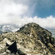
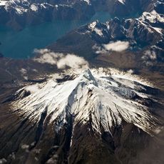
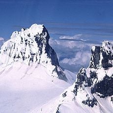
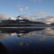
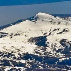
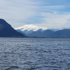
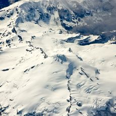
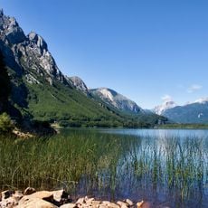
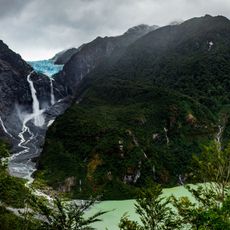
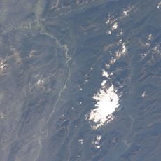
Queulat National Park covers 1,541 km² of the Patagonian Andes, with peaks above 2,000 m and two small ice fields whose glaciers reach up to 12 km long. The Queulat ice cap, about 80 km², holds the Hanging Glacier at 1,889 m. The Carretera Austral crosses the park, including the hairpin turns of Cuesta Queulat.
In 1766 the Jesuit priest José García Alsue explored the area while searching for the City of the Caesars, a legendary city believed to lie in the Andes. His journey is the earliest documented European exploration of the land that later became Queulat National Park, created in the Aysén Region of Chile.
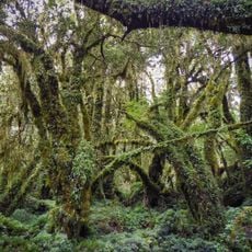
The park's name comes from the Chono word Queolat, meaning "sound of waterfalls." Jesuit Father José García Alsue explored the area in 1766 while searching for the City of the Caesars. Today the Carretera Austral crosses the park, and its hairpin turns at Cuesta Queulat let travellers see the vegetation zones change with altitude.
You can reach the area through several entrances, with the main route following a major highway through the region. Plan for substantial travel time, as some access roads are lengthy and weather in this area can change quickly.
The Queulat Hanging Glacier feeds the Cascada de Ventisquero Colgante, whose meltwater plunges in a single vertical drop into the Témpanos River. The ice cap behind it covers about 80 km2 at an elevation of 1,889 m, and its meltwater also reaches the northern end of the Puyuhuapi Channel, called Ventisquero Sound.
The community of curious travelers
AroundUs brings together thousands of curated places, local tips, and hidden gems, enriched daily by 94,226 contributors worldwide.