Corcovado National Park, National park in Palena Province, Chile
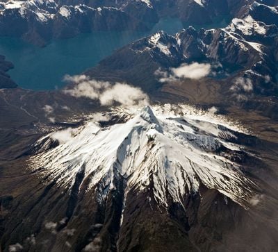
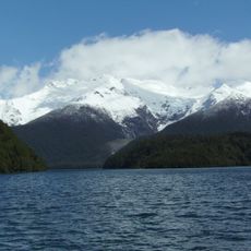
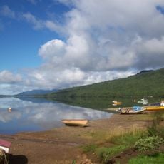
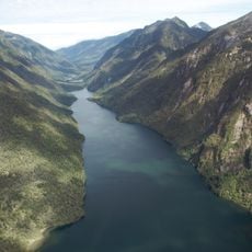
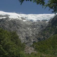
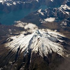
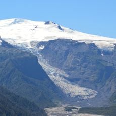
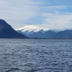
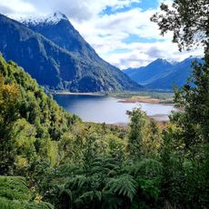
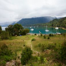
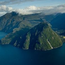
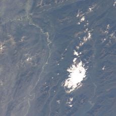
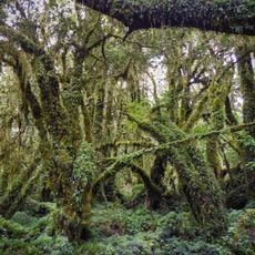
Corcovado National Park is a protected area in Los Lagos Region, centered around a 2,300-meter (7,550-foot) stratovolcano surrounded by several lakes at its base. The terrain features steep slopes and dense forests that transition from rainforest to alpine zones as elevation increases.
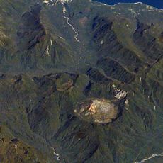
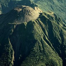
The park was established in 2005 to protect the natural ecosystems of southern Chile. The area was significantly shaped by the Corcovado volcanic eruption in 2008, which altered the surrounding landscape and became a defining moment in the region's recent past.
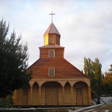
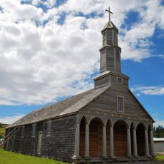
The place remains closely tied to the nearby town of Chaitén, which continues to serve as the main gateway despite the 2008 volcanic disaster. Locals maintain a strong connection to the land and its dramatic geological story, shaping how residents and visitors experience the area today.
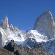
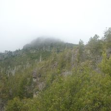
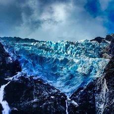
Different sections of the park remain accessible year-round, though mountain weather patterns can affect visibility of the volcanic formations and surrounding peaks. It helps to check local conditions before arriving and prepare for changing weather at higher elevations.
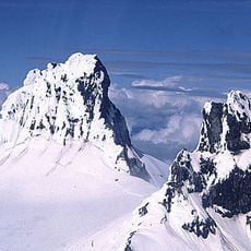
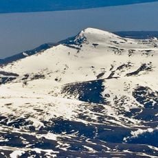
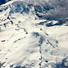
The volcano's summit displays a distinctive stepped formation that mirrors the structure of nearby Puntiagudo Volcano, a rare geological feature in the region. This parallel structure resulted from similar volcanic processes and makes both peaks notable examples for understanding how mountains formed in southern Chile.
The community of curious travelers
AroundUs brings together thousands of curated places, local tips, and hidden gems, enriched daily by 60,000 contributors worldwide.