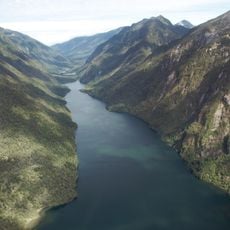
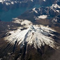
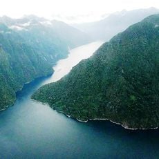
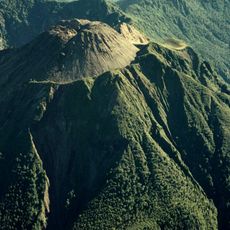
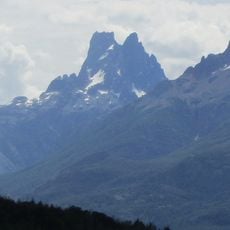
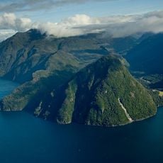
Michinmahuida, Active stratovolcano in Palena Province, Chile.
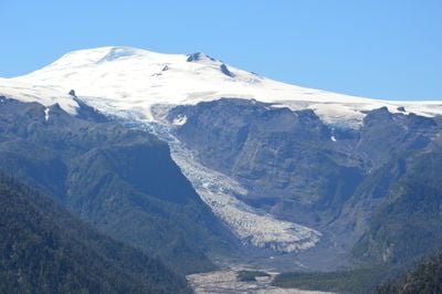
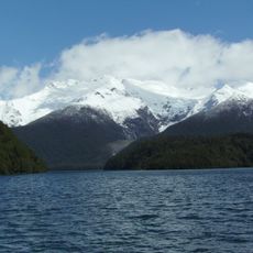
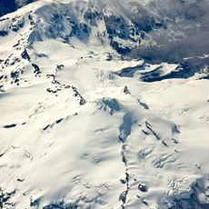
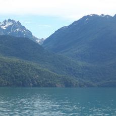
Michinmahuida is an active stratovolcano rising 2404 meters in the southern Andes, marked by steep slopes and permanent ice and snow covering much of the summit. The frozen white peak stands out sharply against the darker volcanic rock of its lower flanks.
The volcano experienced a major eruption in 1835 that was recorded by Charles Darwin during his travels in South America, providing important documentation of volcanic activity in the region. This event marked one of the most significant eruptive periods observed in the area's recorded history.
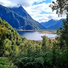
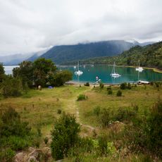
The name comes from the Mapuche language, reflecting how indigenous peoples of southern Chile understood their mountain world. Local communities have long viewed this peak as a landmark in the natural landscape around them.
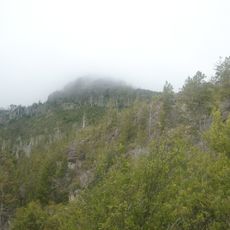
Climbing this peak requires specialized mountaineering gear and experienced guides due to technical terrain and rapidly changing weather conditions at altitude. Visitors should prepare for cold, icy conditions and challenging climbing passages.
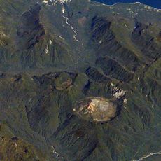
When the nearby Chaiten volcano erupted explosively in 2008, gray ash fell across Michinmahuida's white peak, creating a striking dark layer visible even from satellite imagery. This unexpected ash coating remained a notable visual reminder of the eruption's power and reach.
The community of curious travelers
AroundUs brings together thousands of curated places, local tips, and hidden gems, enriched daily by 60,000 contributors worldwide.