Lago Puelo National Park, National park in Chubut, Argentina.
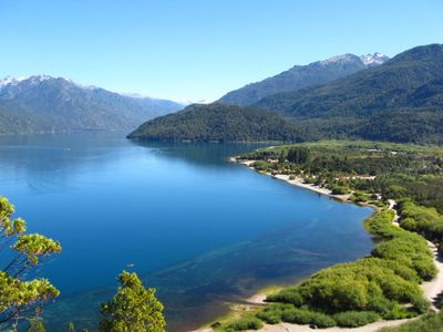
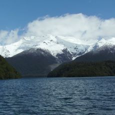
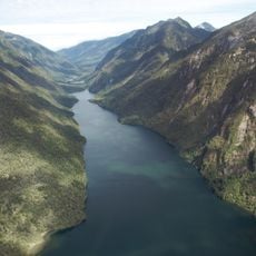
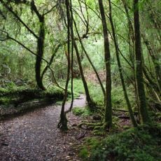
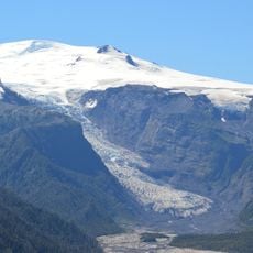
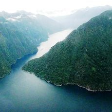
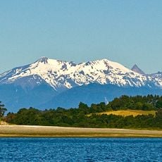
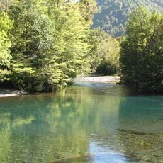
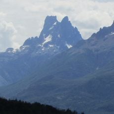
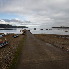
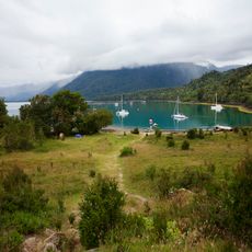
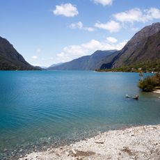
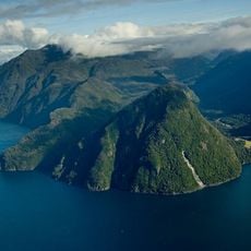
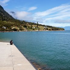
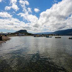
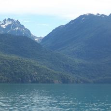
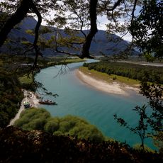
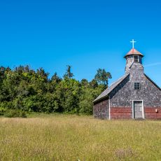
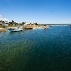
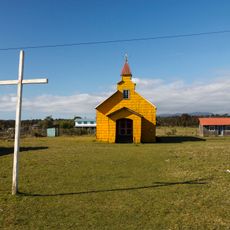
Lago Puelo National Park is a protected area in the mountains of Chubut featuring glacial lakes and rivers whose waters turn turquoise from sediments. The terrain spreads across multiple zones with hiking trails, camping grounds, swimming areas, boat tours, and fishing locations throughout.
The area was first protected in 1937 as a reserve connected to the neighboring Los Alerces National Park. It gained independent status and became a separate national park in 1971.
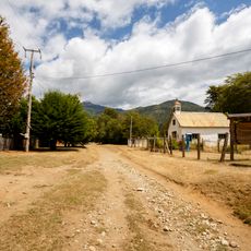
The park sits within territories where Mapuche communities maintain their traditional ways of life and deep connection to the land. Visitors can sense this cultural presence, especially near the eastern boundaries of the protected area.
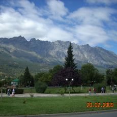
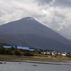
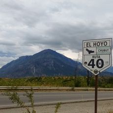
The park is accessible via different routes and offers trails, camping spots, and swimming areas at various difficulty levels for all visitors. The best conditions for outdoor activities occur during warmer months, though nature lovers visit throughout the year.
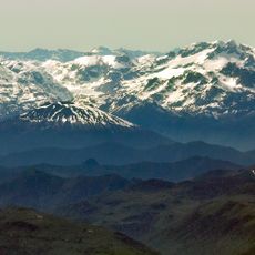
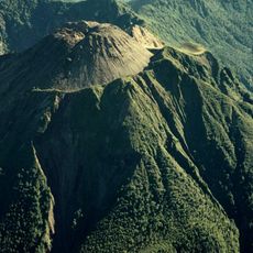
The park sits at one of the lowest valleys of the Andes at 200 meters elevation, allowing plant species from different climate zones to grow side by side. This unusual altitude creates conditions where Andean-Patagonian forest species and tropical Valdivian jungle species thrive together in close proximity.
The community of curious travelers
AroundUs brings together thousands of curated places, local tips, and hidden gems, enriched daily by 60,000 contributors worldwide.