Hornopirén National Park, National park in Hualaihué, Los Lagos Region, Chile
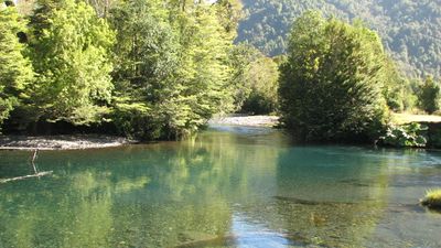
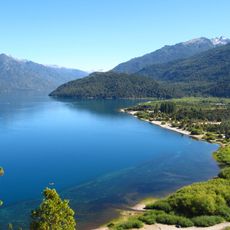
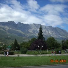
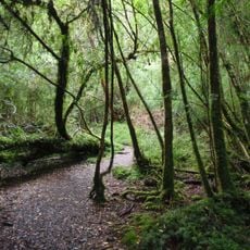
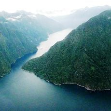
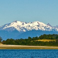
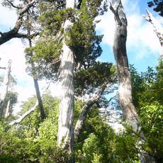
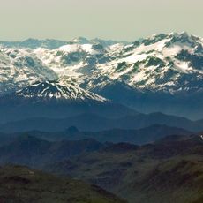
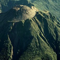
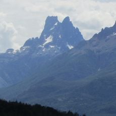
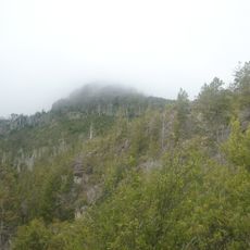
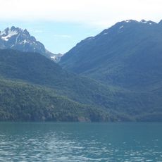
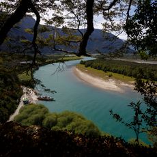
Hornopirén National Park is a protected area spanning 48,232 hectares of temperate rainforest, lakes, glaciers, and mountains including the Yates and Hornopirén volcanoes. Ancient alerce trees thousands of years old dominate the landscape, growing on steep slopes above deep valleys.
The park was established in 1988 and joined Chile's Route of the Parks network in 2018. Its creation protected ancient alerce forests from logging activities that threatened the region.
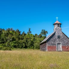
The name comes from the Mapundungun language meaning 'snow oven', reflecting how the Huilliche and Chono peoples understood the landscape. This indigenous relationship with the territory shapes how visitors encounter the forest and mountain environment today.
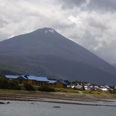
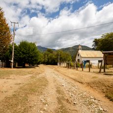
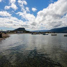
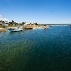
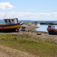
Access requires roughly four hours from Puerto Montt using the Carretera Austral, with ferry crossings and gravel road sections being standard. Plan for changing weather and limited facilities, and consider traveling with local guides familiar with the terrain.
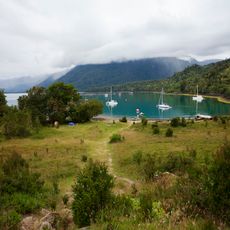
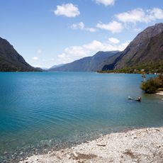
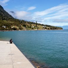
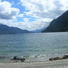
Three significant lakes - Pinto Concha, El Cabro, and Inexplorado - sit within the park, with the last named for remaining largely unexplored due to difficult access. Visitors to these waters encounter remote shorelines shaped by dense forest and glacial conditions.
The community of curious travelers
AroundUs brings together thousands of curated places, local tips, and hidden gems, enriched daily by 60,000 contributors worldwide.