Llanquihue National Reserve, National reserve in Llanquihue Province, Chile
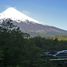
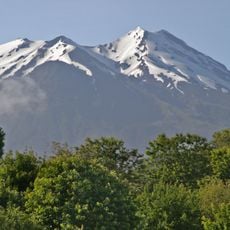
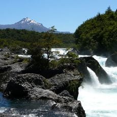
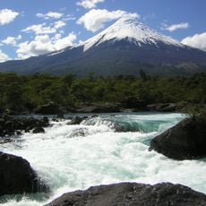
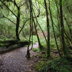
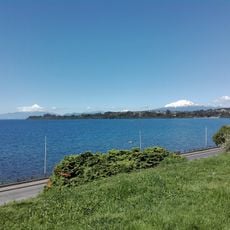
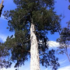
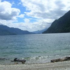
Llanquihue National Reserve covers 33,972 hectares in Llanquihue Province, Los Lagos Region, southeast of Llanquihue Lake. It is bordered by the Petrohué River to the northeast, the Reloncaví Estuary to the east, and Chapo Lake to the south, which separates it from Alerce Andino National Park. Its slopes on Volcán Calbuco hold evergreen forest of tepa, mañío, coihue, ulmo, alerce and lenga.
Llanquihue National Reserve was created in 1912 and covers 33,972 hectares in Llanquihue Province, Los Lagos Region. It forms part of the Bosques Templados Lluviosos de los Andes Australes Biosphere Reserve. The 2015 eruption of Calbuco volcano damaged the area and kept it closed to visitors for a long period.
The reserve lies within the Bosques Templados Lluviosos de los Andes Australes Biosphere Reserve. Its name comes from Llanquihue, the lake whose southeastern shore it borders; the reserve itself is bounded by the Petrohué River to the northeast, the Reloncaví Estuary to the east and Lago Chapo to the south. The wooden refugio at 1,200 m on the Calbuco slopes, built in the 1980s, is the turnaround point for day walkers.
Access from Puerto Montt follows Route 7 to Chamiza bridge, then continues on V-65 road toward Correntoso village where guided tours can be arranged. Spring through autumn offers better trail conditions and clearer weather for exploring the different forest zones.
The trail from Río Blanco, near Lake Chapo, once reached the Calbuco summit in one or two days of walking. Since the 2015 eruption it is open only as far as a wooden refuge built in the 1980s at 1,200 m on the volcano's slopes.
The community of curious travelers
AroundUs brings together thousands of curated places, local tips, and hidden gems, enriched daily by 92,670 contributors worldwide.