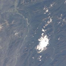
Queulat Glaciers, Glacier formation in Aysen Region, Chile
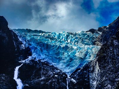
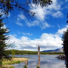
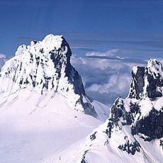
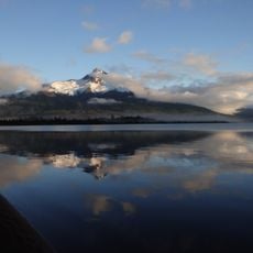
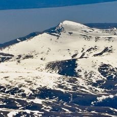
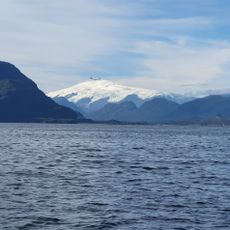
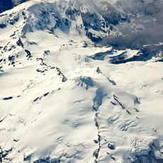
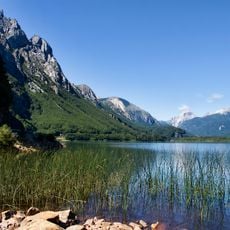
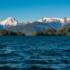
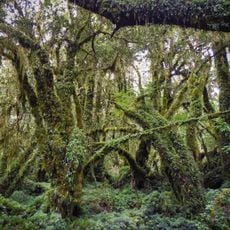
Queulat Glaciers are a massive ice formation in the Aysén Region with towering blue walls that descend from steep mountain faces into the Tempanos Lagoon below. Multiple connected ice masses create a dramatic wall of frozen water surrounded by dense temperate rainforest.
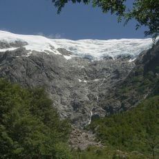
The glaciers were documented by Captain Enrique Simpson in 1875 when they extended much closer to sea level. Over time, the ice has retreated significantly inland, reshaping the landscape and creating new water features.
The name comes from the Chonos indigenous language and refers to the constant sound of waterfalls that echoes through the surrounding landscape. Local guides often share stories about how the ice formations have shaped the region's identity and how people historically relied on the glacier as a landmark.
The glaciers can be viewed from designated viewpoints along the Carretera Austral highway, or you can hike closer trails for more direct views. Access is best during clear weather, and the site is reachable year-round though conditions vary by season.
The glaciers persist year-round despite the surrounding temperate rainforest climate, creating a rare meeting of two contrasting environments. This unusual combination of tropical-like conditions and permanent ice shapes how the landscape continuously transforms.
The community of curious travelers
AroundUs brings together thousands of curated places, local tips, and hidden gems, enriched daily by 60,000 contributors worldwide.