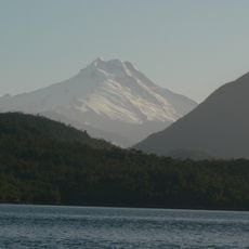
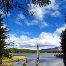
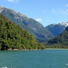
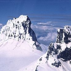
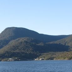
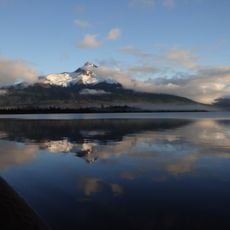
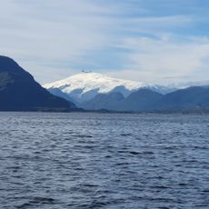
Mentolat, Stratovolcano in Magdalena Island, Chile
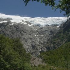
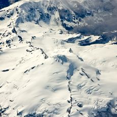
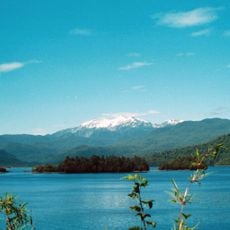
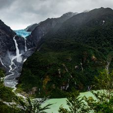
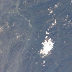
Mentolat is an ice-filled caldera 6 km wide atop a stratovolcano in the central part of Magdalena Island, Aysén Region, Chilean Patagonia, reaching 1,660 m. The edifice covers 204 km² and has erupted lava flows and pyroclastic flows; its rocks range from basaltic andesite to andesite. The summit glacier covered 3.35 km² in 2011, about 2.5 times less than in 1979.
Mentolat's earliest activity dates to the Pleistocene, and major explosive eruptions occurred during the Holocene; one of these may have formed the 6 km caldera. A possible eruption in the early 18th century may have produced lava flows on the western slope. Its eruptive history remains little known.
The name Mentolat is tentatively linked to Men (o) lat, which in the Chono language is said to mean "to decipher". Early 20th-century maps labelled the volcano Montalat, and the spellings Menlolat, Montolot and Matalot have also been recorded. The summit caldera is regarded as possibly holding an ice-covered lava dome.
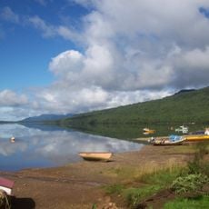
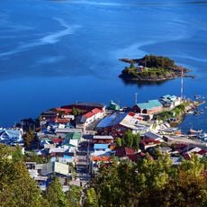
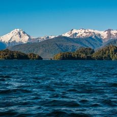
Mentolat lies in the central part of Magdalena Island, inside Isla Magdalena National Park in the Aysén Region, separated from Puerto Cisnes by the Puyuhuapi strait. Like most volcanoes in the region it stands far from roads and is difficult to access. Precipitation in this part of Chilean Patagonia can reach 7,500 mm a year, and temperatures range from 8 to 13 °C.
This volcano produces tephra with lower potassium content compared to neighboring volcanoes in the region. This unusual composition of ejected material makes it particularly interesting to geologists and demonstrates the diverse volcanic origins in the Chilean landscape.
The community of curious travelers
AroundUs brings together thousands of curated places, local tips, and hidden gems, enriched daily by 93,990 contributors worldwide.