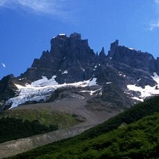
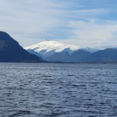
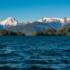
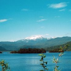
Cerro Macá, Stratovolcano in Aysén del General Carlos Ibáñez del Campo Region, Chile.
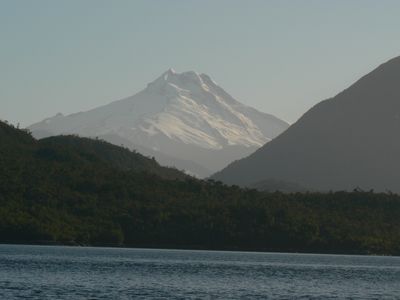
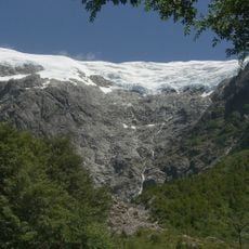
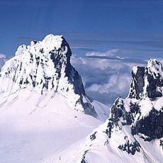
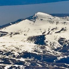
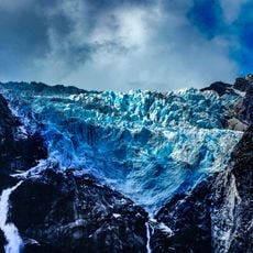
Cerro Macá is a stratovolcano in the Aysén del General Carlos Ibáñez del Campo Region that rises 2,300 meters (7,550 feet) above sea level. Its peak remains snow-covered year-round and displays multiple layers of hardened lava, tephra, and volcanic ash from past eruptions.
The last major eruption occurred around 410 AD and deposited tephra layers extending roughly 70 kilometers to the east. This event represents a significant moment in the region's volcanic history and the shaping of the landscape.
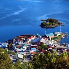
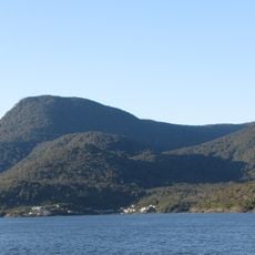
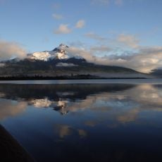
This volcano forms part of the Southern Volcanic Zone and shapes how people perceive the Andes landscape here. The snow-covered summit stands out distinctly against the surrounding terrain and serves as a landmark for the region.
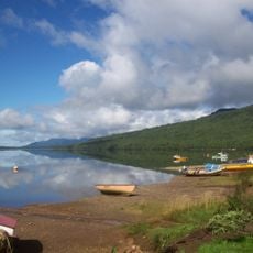
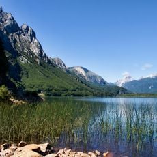
Reaching the volcano demands careful preparation and continuous weather monitoring, as the remote location presents challenges for travel and exploration. Visitors should expect variable conditions and consider hiring experienced guides familiar with the terrain.
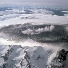
The summit area features a large steep-sided depression created by a sector collapse, while pyroclastic cones dot the southwestern flank. These formations tell the story of complex volcanic processes that shaped the mountain's distinctive profile.
The community of curious travelers
AroundUs brings together thousands of curated places, local tips, and hidden gems, enriched daily by 60,000 contributors worldwide.