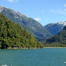
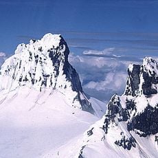
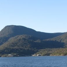
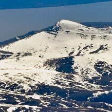
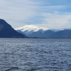
Cay, Dormant stratovolcano in Aysén del General Carlos Ibáñez del Campo Region, Chile.
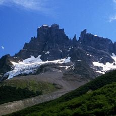
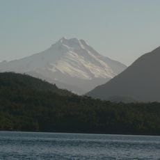
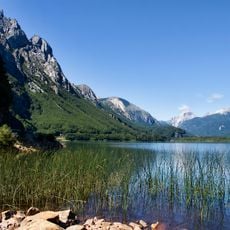
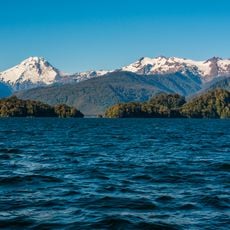
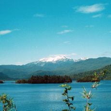
Cay is a dormant stratovolcano in the Aysén region that rises to about 2,090 meters (6,860 feet) in elevation. Its southwestern flank is marked by several smaller parasitic cones at lower altitudes.
Cay is a stratovolcano built from basalt and dacite at the intersection of NW-SE and NE-SW faults of the Liquiñe-Ofqui Fault Zone, about 230 km from the Chile Trench. No Holocene activity is recorded, though some experts date an eruption to the same period. Several parasitic cones lie on its southwest flank below 1,000 m.
The volcano's name is shared with the Cay strait and the Cay River, and the peak is one of a chain of volcanoes in the South Volcanic Zone of the Andes. Its neighbour Maca Volcano, 15 km to the southwest, is the larger of the pair. The two are often described together in Chilean geological surveys of the Aysén Region.
Cay lies in Aysén del General Carlos Ibáñez del Campo Region, about 15 km northeast of the larger Maca Volcano and roughly 230 km from the Chile Trench. There are no roads or facilities at the volcano itself, so reaching it means organising transport and a local guide in advance. Weather in this part of the southern Andes changes quickly; carry equipment for rain, wind and cold.
Cay sits about 230 km east of the Chile Trench, where NW-SE and NE-SW faults of the Liquiñe-Ofqui Fault Zone cross. Its parasitic cones lie below 1,000 m on the southwest flank, while the 2,090 m summit shows no Holocene activity.
The community of curious travelers
AroundUs brings together thousands of curated places, local tips, and hidden gems, enriched daily by 94,226 contributors worldwide.