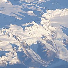
Laguna San Rafael National Park, National park in Aisén Region, Chile
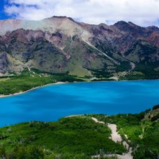
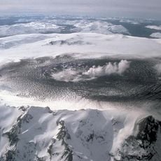
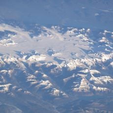
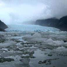
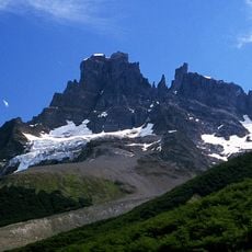
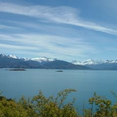
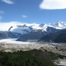
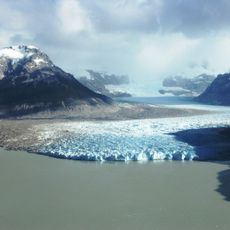
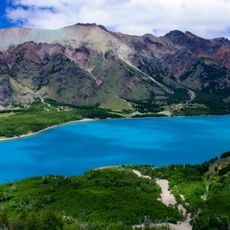
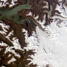
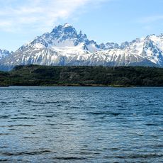
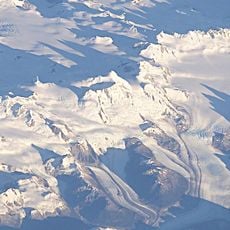
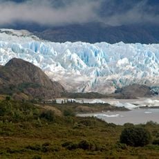
Laguna San Rafael National Park covers 17,420 km² in the Aysén Region and includes about 400,000 ha of the Northern Patagonian Ice Field. Its centrepiece is the San Rafael Lagoon, fed by the San Rafael Glacier, and a fjord over 16 km long. Monte San Valentín rises to about 4,058 m within the park.
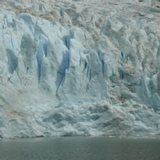
Non-indigenous explorers reached the area in 1675, when the San Rafael Glacier ended on land. It probably advanced back into the lagoon between 1741 and 1766 and has been a tidewater glacier since then. The park was created in 1959 and named a UNESCO World Biosphere Reserve in 1979.
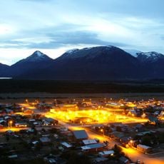
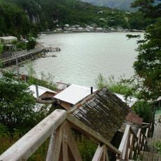
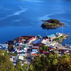
The park's name comes from the San Rafael Lagoon, formed by the retreat of the San Rafael Glacier. The Témpanos River, though called a river, actually connects the lagoon to the Gulf Elefantes. Visitors can spot names like Puerto Río Tranquilo and Bahía Exploradores on access routes, reflecting local geography.
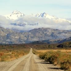
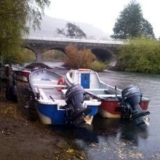
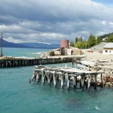
Access is by sea from Puerto Chacabuco, a 16-hour crossing, or from Puerto Montt on tourist vessels; by land, a gravel road built in 2001 runs from Puerto Río Tranquilo to Bahía Exploradores, where boats reach the lagoon in about 2.5 hours. The park can be visited from September to April. Rainfall reaches about 5,000 mm a year, so waterproof layers are needed.
The park's underground is protected as a scientific interest site for mining purposes under Decree 133 of 29 August 1989, so any extraction there needs written permission from the president and the mining minister. The park was also the proposed site of the Baker 2 dam in the cancelled HidroAysén project.
The community of curious travelers
AroundUs brings together thousands of curated places, local tips, and hidden gems, enriched daily by 93,363 contributors worldwide.