Lago Jeinimeni National Reserve, National reserve in General Carrera Province, Chile.
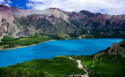
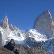
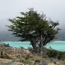
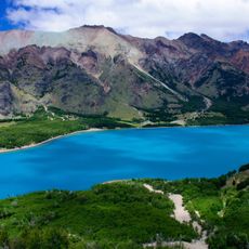
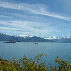
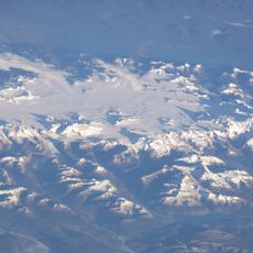
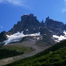
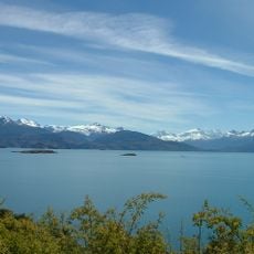
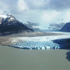
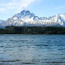
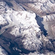
Lago Jeinimeni National Reserve is a protected area spanning diverse terrain across General Carrera Province. The landscape features high mountains, lenga forests, and open valleys shaped by a cold mountain climate and glacial processes.
Chile's government established this as a national reserve in 1967 to protect the area's natural resources and ecological systems. This designation was part of a broader effort to safeguard Patagonia's wilderness from development.
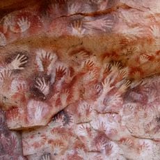
The name derives from the Mapudungun language and reflects the region's geographical character. Visitors can still observe rock paintings today, where ancient inhabitants left hand prints as marks of their presence on stone surfaces.
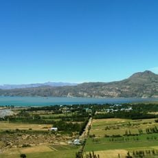
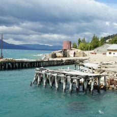
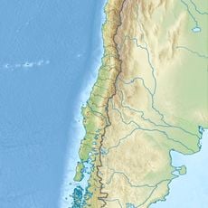
Visitors reach the reserve via a road about 57 kilometers southwest of Chile Chico by vehicle. Main facilities include camping areas, picnic spots, and marked hiking trails suitable for different fitness levels.
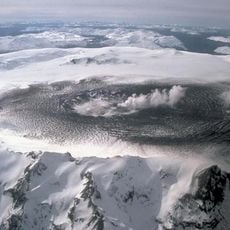
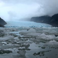
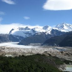
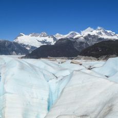
The Ventisquero glacier is one of the more accessible glaciers in the region, allowing visitors to experience ice and snow up close. The glacier sits within lenga forests that thrive in this cold climate and create a striking contrast between white ice and green forest.
The community of curious travelers
AroundUs brings together thousands of curated places, local tips, and hidden gems, enriched daily by 60,000 contributors worldwide.