Water resources management in Chile, Water management system in Santiago, Chile
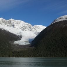
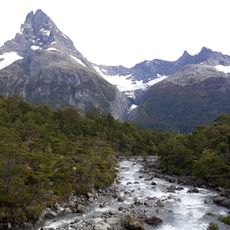
Water management in the country is a system that monitors and controls water supplies across territories with very different conditions. From the dry northern desert to wetter southern regions, handling water requires different strategies depending on whether sources are rivers and lakes or groundwater reserves.
A turning point came in 1981 when a law introduced a market-based approach to water rights, fundamentally changing how the nation distributes water. This framework became the foundation for all management practices that followed.
Water management in the country reflects the needs of farming, mining, and cities, each with different water demands that shape how resources are allocated. Local groups advocate for their communities' water interests in decision-making processes.
Water management relies on digital systems that collect data from water sources and underground reserves across the nation to monitor usage. This technology allows authorities to track water movement and share information about availability in different areas.
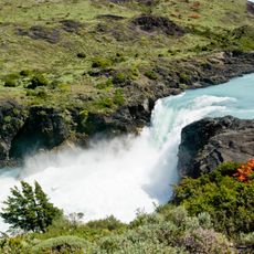
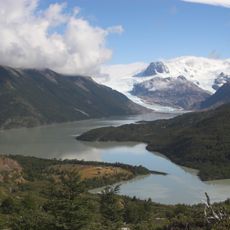
The nation must manage water across one of Earth's longest and most geographically varied territories, stretching from extremely dry zones to wet regions. This extreme diversity makes water management a singular challenge, as no single approach works everywhere.
The community of curious travelers
AroundUs brings together thousands of curated places, local tips, and hidden gems, enriched daily by 60,000 contributors worldwide.