Rauch, human settlement in Argentina
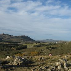
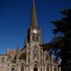
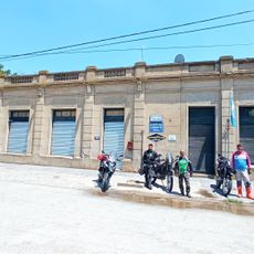
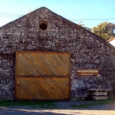
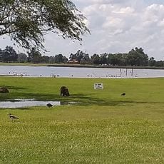
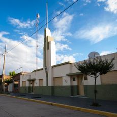
Rauch is a small town in Buenos Aires province featuring wide streets and simple, sturdy houses with modest designs. The landscape extends into farmland with fields and grazing animals that surround the settlement, creating a quiet and welcoming character.
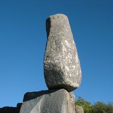
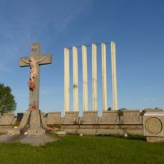
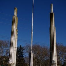
The town was founded on April 20, 1872, in a peaceful area and named after a Prussian soldier who died in a battle in this region. The area had previously been home to indigenous peoples like the Pampas and Mapuche, who resisted European arrival.
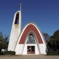
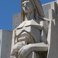
The town's name honors Federico Rauch, a Prussian soldier who fought for Argentina. You can see this respect reflected in local stories and monuments that visitors encounter throughout the streets.
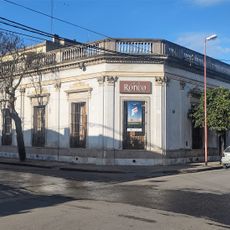
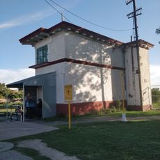
The town connects to nearby cities like Tandil and Buenos Aires through a bus network, with train service recently restored for easier travel. Visitors find basic services, small shops, parks, and community spaces that provide orientation and daily necessities.
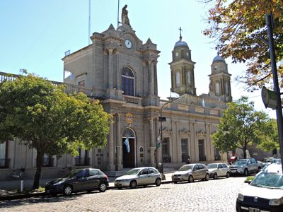
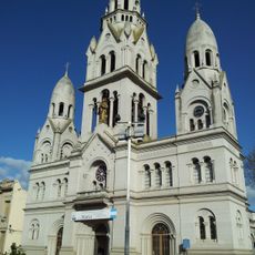
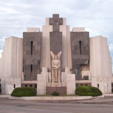
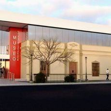
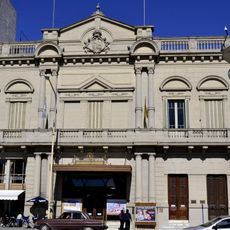
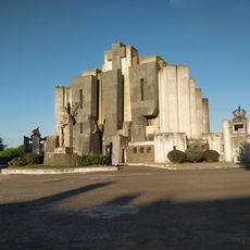
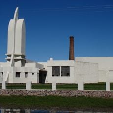
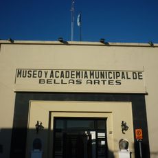
Artist Francisco Salamone designed the municipal building with his characteristic style of large shapes and straight lines that stands out from neighboring structures. The town plans to convert part of this building into a museum so visitors can learn about his architectural legacy.
The community of curious travelers
AroundUs brings together thousands of curated places, local tips, and hidden gems, enriched daily by 60,000 contributors worldwide.