
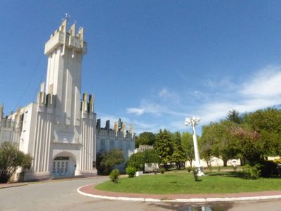
Plazoleta de la Municipalidad de Rauch
Location: Rauch
Architects: Francisco Salamone
GPS coordinates: -36.77506,-59.08639
Latest update: March 3, 2025 11:58
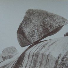
Piedra Movediza
59.9 km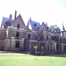
Castillo San Francisco
20.1 km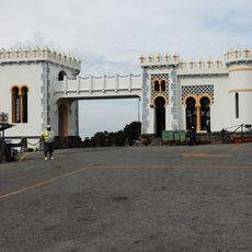
Parque Independencia
63.1 km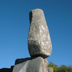
El Centinela
65.1 km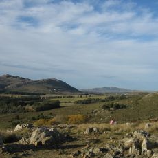
Reserva natural Sierra del Tigre
66.9 km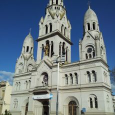
Santísimo Sacramento Church, Tandil
61.9 km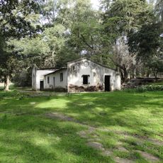
Monte Peloni
96.9 km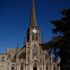
Our Lady of the Rosary Cathedral
69.4 km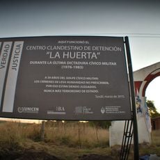
La Huerta
57.7 km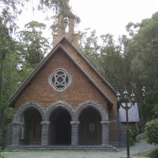
Capilla Santa Gemma
61.9 km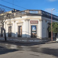
Casa Ronco
69.4 km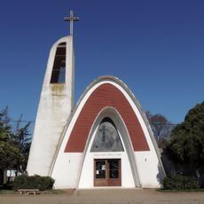
Iglesia de Nuestra Señora del Rosario
79.1 km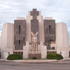
Cementerio municipal de Azul
68.2 km
De La Canal train station
39.2 km
Museo Tapalque
96 km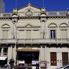
Teatro Español
69.3 km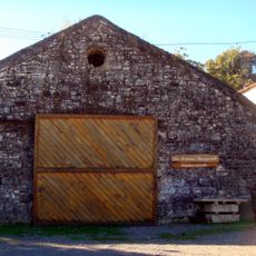
La Calera 1888
96.8 km
Las Flores
84.2 km
Museo Ferroviario - Ferro Club Azul
68.2 km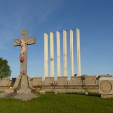
Cristo y Vía Crucis de Azul
67.2 km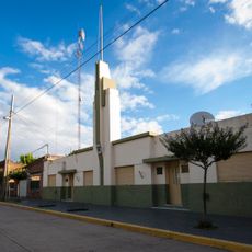
Delegación municipal de Cacharí
58 km
Portal del Parque Municipal 'Domingo Faustino Sarmiento'
70 km
Cementerio de Azul
68.2 km
Matadero de Azul
65.9 km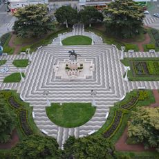
Plaza San Martín
69.3 km
Portal del Cementerio de Azul
68.2 km
Museo Municipal De Bellas Artes De Tandil (Mumbat)
62 km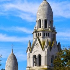
Iglesia Parroquial Matriz Santísimo Sacramento
61.9 kmVisited this place? Tap the stars to rate it and share your experience / photos with the community! Try now! You can cancel it anytime.
Discover hidden gems everywhere you go!
From secret cafés to breathtaking viewpoints, skip the crowded tourist spots and find places that match your style. Our app makes it easy with voice search, smart filtering, route optimization, and insider tips from travelers worldwide. Download now for the complete mobile experience.

A unique approach to discovering new places❞
— Le Figaro
All the places worth exploring❞
— France Info
A tailor-made excursion in just a few clicks❞
— 20 Minutes