Route 5, highway in Uruguay
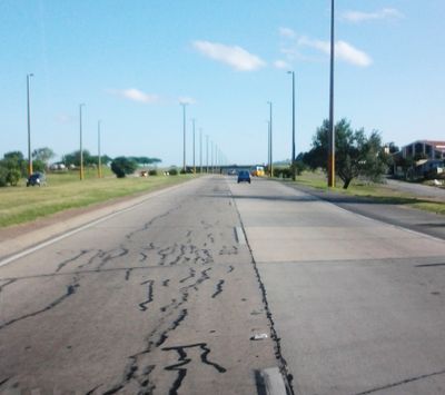
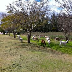
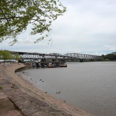
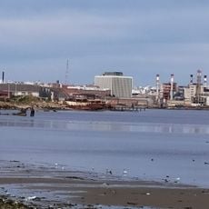
Route 5 is a major highway that extends from Montevideo in the south toward the Brazilian border to the north, connecting several departments and their capital cities. The road is well-maintained with a paved surface about 7 meters (23 feet) wide and passes through varied landscapes, from flat plains near Montevideo to open fields and hilly terrain in northern areas.
Route 5 was officially named after Fructuoso Rivera in 1975, a key figure in Uruguay's history, reflecting the importance of this connection to national identity. The road has evolved into a vital transportation link that enables commerce and movement between Montevideo and the Brazilian border.
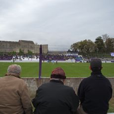
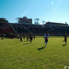
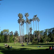
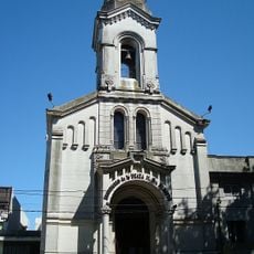
Route 5 connects various departments and their capitals, making it the lifeline that shapes daily life for people across the country. Along the roadside you can observe traditional houses, local shops, and residents engaged in everyday activities, reflecting the relaxed pace of life outside the major cities.
The road is well-marked with clear signs indicating towns and important points, making navigation easier for visitors, and offers regular stops such as gas stations, small restaurants, and rest areas, especially in rural sections. It is wise to refuel before longer stretches and allow time for breaks to explore the surrounding area and enjoy local food.
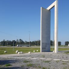
Route 5 officially begins at Plaza Cagancha in Montevideo, a familiar spot for locals and visitors, where the official distance measurement for the entire route starts. This distinctive starting point connects the urban core to the countryside and marks the transition from the capital to Uruguay's interior.
The community of curious travelers
AroundUs brings together thousands of curated places, local tips, and hidden gems, enriched daily by 60,000 contributors worldwide.