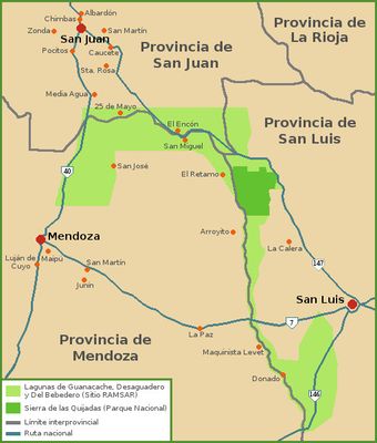
Lagunas de Guanacache, Desaguadero y del Bebedero, Interconnected lagoon system in central-western Argentina.
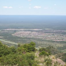
The Lagunas de Guanacache, Desaguadero y del Bebedero form an interconnected network of freshwater lakes and marshes spread across Mendoza, San Juan, and San Luis provinces. The system receives water from two major rivers and functions as a natural water storage and drainage network for the region.
The site received international protection status in 1999 and was later expanded to encompass a much larger area. This recognition marked a turning point in efforts to preserve the ecological importance of the wetland system.
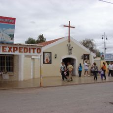
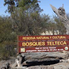
The descendants of the Huarpe people maintain deep ties to this landscape through traditional practices and knowledge passed down over generations. Their connection to the water shapes how the region is understood and experienced by those who live here.
The lagoons are located in a dry region where infrastructure is limited, so visiting requires some preparation and planning. It helps to work with local guides who know the terrain and can point out the best spots for observing wildlife and water features.
The wetlands support a remarkable variety of waterbird species that migrate seasonally and shape the ecosystem's character. These birds use the lagoons as critical stopover points during their long journeys between North and South America.
The community of curious travelers
AroundUs brings together thousands of curated places, local tips, and hidden gems, enriched daily by 60,000 contributors worldwide.