
El Palmar National Park, National park in Entre Ríos Province, Argentina.
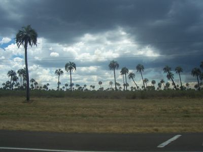
The park spans 8,213 hectares and contains dense groves of Yatay palm trees growing among grasslands, small woods, and forested areas near the Uruguay River.
The park was established in 1966 to protect one of the last remaining Yatay palm tree concentrations, which British settlers had previously reduced through agricultural development.
The park contains the Calera de Barquín ruins, a former limestone facility with kilns and a jetty that represents 19th-century industrial development in the region.
Visitors can access the park through main routes connecting Colón and Concordia cities, with a central office providing maps and information about walking trails.
The protected Yatay palms reach heights of twenty meters and can live up to 400 years, creating extensive natural formations at their southernmost distribution point.
Location: Entre Ríos Province
Inception: 1966
Elevation above the sea: 36 m
Operator: Administración Parques Nacionales
Website: http://colonentrerios.com.ar/elpalmar
GPS coordinates: -31.85306,-58.32250
Latest update: May 26, 2025 21:05

Argentina extends across multiple climate zones and contains numerous geological formations. The country encompasses high mountain ranges in the Andes, salt flats in the northwest, rock formations in Patagonia, and extensive grasslands. These areas display the region's geological history and the adaptation of human settlements to different environments. The sites include volcanic craters, thermal springs, canyons, and historic villages. Many of these locations lie away from main routes and require several hours of travel. The regions document pre-Columbian cultures, colonial history, and traditional ways of life that continue today.
Termas San José
40.6 km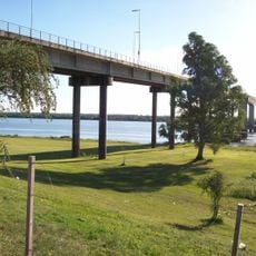
General Artigas Bridge
50.3 km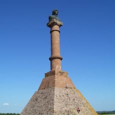
Meseta de Artigas
42.8 km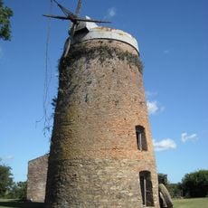
Molino Forclaz
42.5 km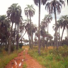
Palmar Yatay
1.6 km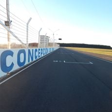
Autódromo de Concepción del Uruguay
67 km
Monumento a Perpetuidad, Paysandú
57.3 km
Nuestra Señora del Rosario y San Benito de Palermo, Paysandú
56.5 km
Termas de San Nicanor
60.9 km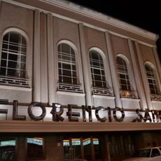
Teatro Florencio Sánchez
56.4 km
Teatro Larrañaga
61.8 km
Villa Elisa Historic Train
35.3 km
Termas de Guaviyú
41.2 km
Iglesia Virgen Niña
35.3 km
Museo del Hombre y la Tecnología
61.9 km
Centro de Documentación e Investigación Daniel Vidart
56.6 km
Municipal Historical Regional Monument and Museum El Porvenir
36.6 km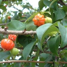
Jardín botánico Ca´a Porâ
59 km
Museo Las Nubes Casa de Enrique Amorim
63.7 km
Parroquia Santos Justo y Pastor
44.8 km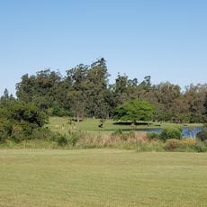
Salto Golf Club
60.7 km
Parque Acuático Concepción
66.7 km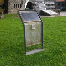
Centro de detención del Batallón de Infantería No. 7
63.4 km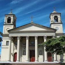
Basilica of Our Lady of the Rosary and Saint Benedict of Palermo
56.5 km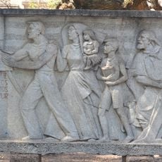
Monumento al Himno Nacional
56.6 km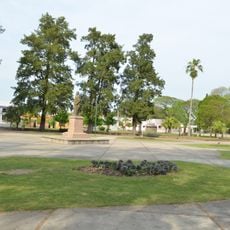
Plaza Flores
62.5 km
Edificio del antiguo Hospital y Asilo Pinillas. Primer hospital de caridad de las Hermanas del Huerto construido en 1883 - Actual Sede de la Casa del Espíritu de Paysandú.
56.6 km
Arruabarrena Palace Municipal Regional Museum
59 kmReviews
Visited this place? Tap the stars to rate it and share your experience / photos with the community! Try now! You can cancel it anytime.
Discover hidden gems everywhere you go!
From secret cafés to breathtaking viewpoints, skip the crowded tourist spots and find places that match your style. Our app makes it easy with voice search, smart filtering, route optimization, and insider tips from travelers worldwide. Download now for the complete mobile experience.

A unique approach to discovering new places❞
— Le Figaro
All the places worth exploring❞
— France Info
A tailor-made excursion in just a few clicks❞
— 20 Minutes