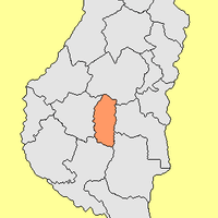
Entre Ríos Province, Province with two major rivers in eastern Argentina
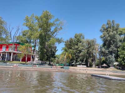
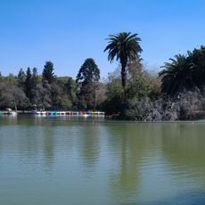
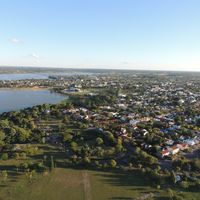
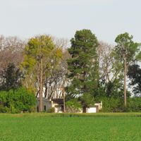
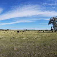
This province stretches between two major waterways in eastern Argentina and shows forested hills in the northern section along with delta lands in the south. The landscape shifts between gentle rises, river bends, and wide plains broken by pastures and smaller settlements.
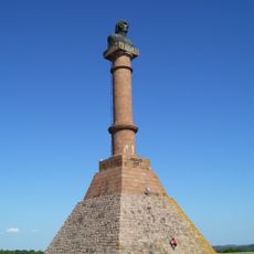
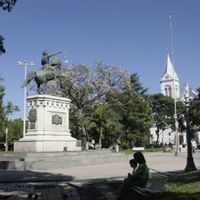
The territory received provincial status in 1814 and became a center of resistance against the rule of Rosas in the following decades. Conflicts and political upheavals marked the first half of the nineteenth century and changed the organization of the region for good.
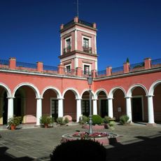
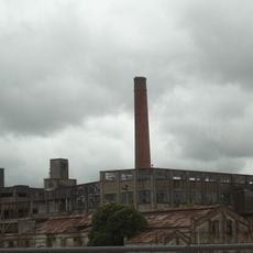
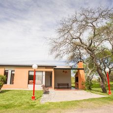
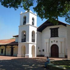
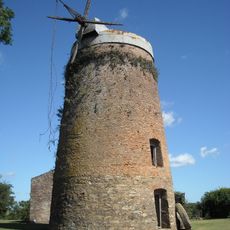
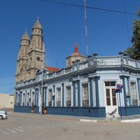
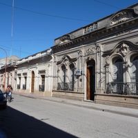
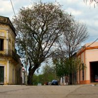
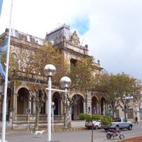
Settlers from Europe left visible traces in the towns and rural areas, where their building styles and everyday customs still appear. Residents maintain these traditions through festivals and craft activities that shape daily life and give travelers a glimpse into the colonial era.
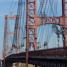
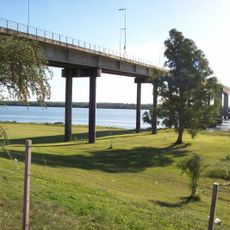
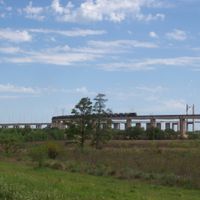
Arriving from Buenos Aires involves a network of bridges, roads, and rail links that connect both shores. Travelers should watch for changing road conditions especially during the wet season and allow enough time for the crossing over the rivers.
A national park within the province preserves palms that are several centuries old and protects sites left by earlier inhabitants of the area. Archaeological remains show how people lived here before European colonization began and offer insight into a time often overlooked.
Location: Argentina
Capital city: Paraná
Elevation above the sea: 57 m
Part of: South America Midwest Integrated Zone
Shares border with: Buenos Aires Province, Santa Fe Province, Corrientes Province, Salto Department, Paysandú Department, Río Negro Department, Soriano Department, Colonia Department
Address: Entre Ríos Province, Argentina
Website: https://portal.entrerios.gov.ar
GPS coordinates: -32.10000,-59.30000
Latest update: December 4, 2025 14:21
National Flag Memorial
156.5 km
Raúl Uranga – Carlos Sylvestre Begnis Subfluvial Tunnel
122.1 km
Parque Acuático Termas Federación
180.3 km
San José palace
81.7 km
Rosario-Victoria Bridge
155.2 km
Cathedral Basilica of Our Lady of the Rosary
156.6 km
Frigorífico Anglo del Uruguay
148.4 km
Termas San José
107.6 km
Puente colgante de Santa Fe
140.3 km
Parque de la Independencia
158.9 km
Central Argentina de Elementos Modulares
208.1 km
Termas del Gualeguaychú
127.9 km
Termas de Chajarí
194.3 km
General Artigas Bridge
114.4 km
Convento de San Francisco
142 km
Teatro El Círculo
157.2 km
Museo Histórico del Convento San Carlos
152.5 km
Meseta de Artigas
137.1 km
Escuela Normal Superior José María Torres
123.1 km
Casa de Gobierno de Santa Fe
142.1 km
Colegio del Uruguay
109.1 km
Instituto Politécnico Superior
157.2 km
Dolfines Guaraní
157.3 km
Molino Forclaz
105.7 km
Termas de María Grande
77.1 km
Field of Glory
152.3 km
Terminal de Ómnibus Mariano Moreno
159.2 km
Teatro 3 de Febrero
123.3 kmReviews
Visited this place? Tap the stars to rate it and share your experience / photos with the community! Try now! You can cancel it anytime.
Colón Department
Concordia Department
Diamante Department
Federación Department
Federal Department
Gualeguay Department
Gualeguaychú Department
Islas del Ibicuy Department
La Paz Department
Nogoyá Department
Paraná Department
San José de Feliciano Department
San Salvador Department
Tala Department
Uruguay Department
Victoria Department
Villaguay Department
Discover hidden gems everywhere you go!
From secret cafés to breathtaking viewpoints, skip the crowded tourist spots and find places that match your style. Our app makes it easy with voice search, smart filtering, route optimization, and insider tips from travelers worldwide. Download now for the complete mobile experience.
A unique approach to discovering new places❞
— Le Figaro
All the places worth exploring❞
— France Info
A tailor-made excursion in just a few clicks❞
— 20 Minutes