
Santa Tereza, Rio Grande do Sul, municipality of Brazil
Location: Rio Grande do Sul
Elevation above the sea: 87 m
Shares border with: Bento Gonçalves, Coronel Pilar, Cotiporã, Garibaldi, Monte Belo do Sul, Muçum, Roca Sales, São Valentim do Sul
Website: http://santatereza.rs.gov.br
GPS coordinates: -29.16889,-51.73500
Latest update: March 10, 2025 16:46
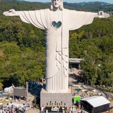
Christ the Protector
18.7 km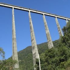
Viaduto do Exército
22 km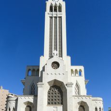
São Pelegrino's church
53 km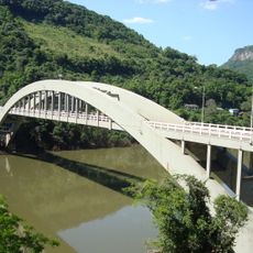
Ponte Ernesto Dornelles
21 km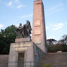
Monumento Nacional ao Imigrante
56.1 km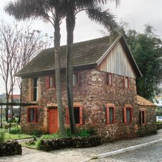
Museu Ambiência Casa de Pedra
52 km
Estádio Parque Esportivo Montanha dos Vinhedos
19.4 km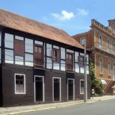
Schmitt-Presser Museum
82.7 km
Ernesto Frederico Scheffel Foundation
82.7 km
Palacete Eberle
54.2 km
Museum of Caxias do Sul City
53.8 km
Hospital Carbone
55.4 km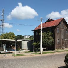
Museu do Pão
46.7 km
Monument to the Shoemaker
81.7 km
Capela do Santo Sepulcro
55.1 km
Museu da Uva e do Vinho Primo Slomp
44.3 km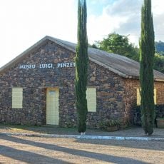
Luigi Pinzetta Museum
63 km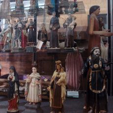
Museu dos Capuchinhos
52.3 km
Santo Antônio do Trinta Chapel
63 km
Igreja São Pedro - Antiga Matriz
72.9 km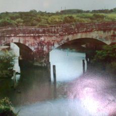
Ponte de Pedra
78.7 km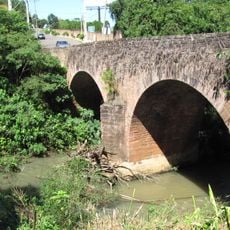
Ponte de Pedra Sobre o Arroio Feitoria
78.7 km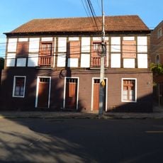
Casa Presser
82.7 km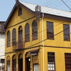
Casa de Dona Neni
55.9 km
Igreja Matriz de São Miguel
78.3 km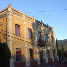
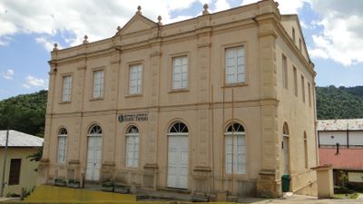
Núcleo urbano de Santa Tereza
133 m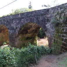
Ponte do Imperador
72.5 km
Câmara Municipal de Novo Hamburgo
82.3 kmVisited this place? Tap the stars to rate it and share your experience / photos with the community! Try now! You can cancel it anytime.
Discover hidden gems everywhere you go!
From secret cafés to breathtaking viewpoints, skip the crowded tourist spots and find places that match your style. Our app makes it easy with voice search, smart filtering, route optimization, and insider tips from travelers worldwide. Download now for the complete mobile experience.

A unique approach to discovering new places❞
— Le Figaro
All the places worth exploring❞
— France Info
A tailor-made excursion in just a few clicks❞
— 20 Minutes