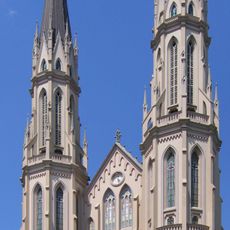
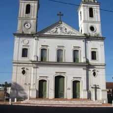
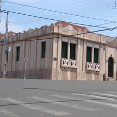
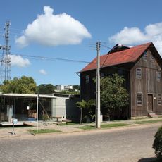
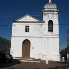
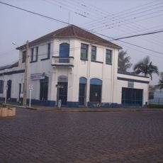
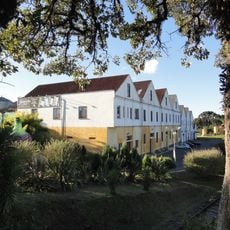
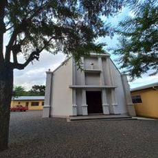
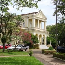
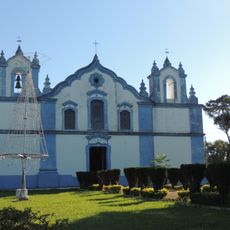
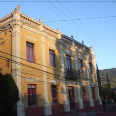
Soledade, Administrative division in Rio Grande do Sul, Brazil
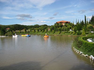
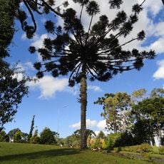
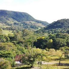
Soledade is a municipality in Rio Grande do Sul situated at 523 meters elevation in a subtropical region. Agriculture and cattle ranching drive the local economy, with grain cultivation as the primary productive activity.
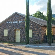
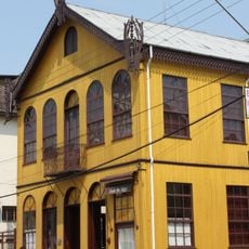
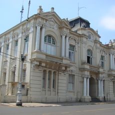
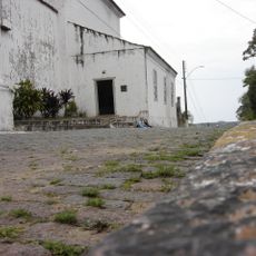
European settlers established the municipality in the late 19th century, bringing farming methods that shaped its development. These early agricultural operations became the foundation for its continued importance as a farming center.
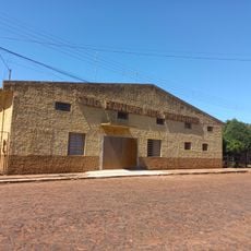
The municipality celebrates its farming roots through local festivals where residents showcase harvests and traditional crafts passed down through generations. These gatherings shape community life and keep agricultural practices central to how people here see themselves.
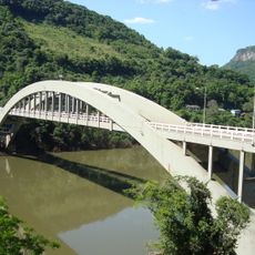
The municipality maintains good connections to larger regional cities, making travel and commerce fairly easy across the area. Visitors will find it well linked within the broader regional network.
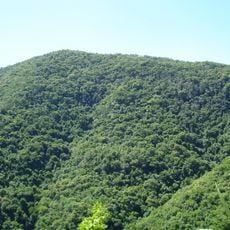
The local climate creates specific conditions for grain production that have made this area a key agricultural hub in southern Brazil. These natural advantages have drawn farming families for generations and continue to shape the region's economy.
The community of curious travelers
AroundUs brings together thousands of curated places, local tips, and hidden gems, enriched daily by 60,000 contributors worldwide.