
Ruiz de Montoya, human settlement in Argentina
Location: Libertador General San department
Elevation above the sea: 178 m
GPS coordinates: -26.96941,-55.05564
Latest update: March 31, 2025 09:38

Jesuit missions among the Guaraní
56.9 km
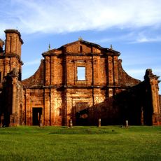
San Ignacio Miní
56.9 km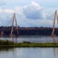
San Roque González de Santa Cruz Bridge
92.5 km
Playa San José
90.7 km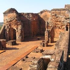
La Santísima Trinidad del Paraná
66.6 km
Jesús de Tavarangüé
69.8 km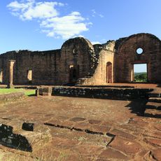
Jesuit Missions of La Santísima Trinidad de Paraná and Jesús de Tavarangüé
69.8 km
Teyú Cuaré
63.4 km
Nuestra Señora de Loreto
60.9 km
Parque Temático de la Cruz
74.1 km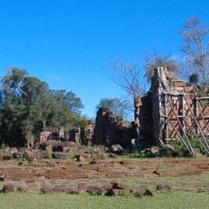
Nuestra Señora de Santa Ana
70.1 km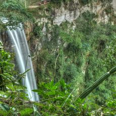
Parque Provincial Salto Encantado
24.7 km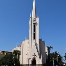
Catedral San Antonio de Padua
57.7 km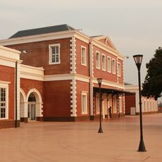
Posadas train station
93.5 km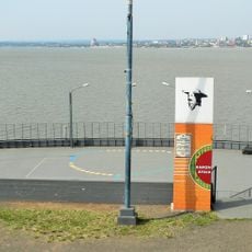
Anfiteatro Manuel Antonio Ramírez
93.3 km
Horacio Quiroga Municipal Museum
59.2 km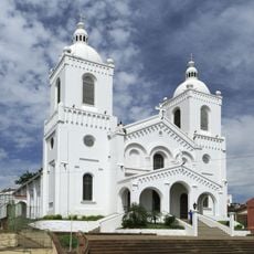
Cathedral of the Incarnation, Encarnación
90.5 km
San Rafael National Park
85.5 km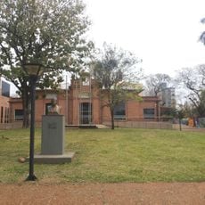
Anibal Cambas Regional Museum
93.5 km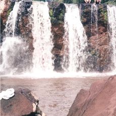
Salto Capioví
5 km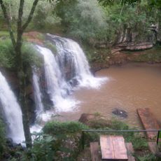
Salto Krysiuk
67.6 km
Casa Museo Horacio Quiroga
58.9 km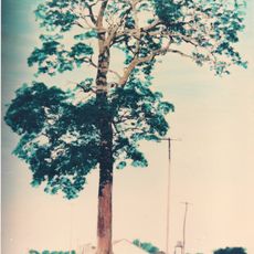
Monumento natural Árbol Timbó de Jardín América
18.9 km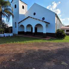
Capilla Santa Cecilia
6.5 km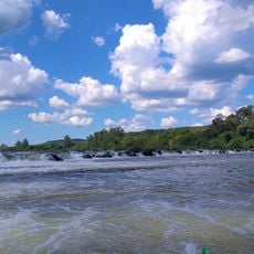
Salto do Roncador
90.2 km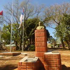
Plaza San Martín
58 km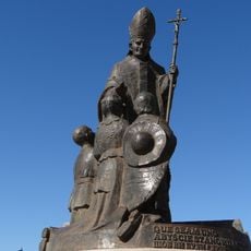
Monumento a Juan Pablo II
93.1 km
Museo Municipal Adolfo Julio Schwelm
72.1 kmVisited this place? Tap the stars to rate it and share your experience / photos with the community! Try now! You can cancel it anytime.
Discover hidden gems everywhere you go!
From secret cafés to breathtaking viewpoints, skip the crowded tourist spots and find places that match your style. Our app makes it easy with voice search, smart filtering, route optimization, and insider tips from travelers worldwide. Download now for the complete mobile experience.

A unique approach to discovering new places❞
— Le Figaro
All the places worth exploring❞
— France Info
A tailor-made excursion in just a few clicks❞
— 20 Minutes