Teodoro Sampaio, municipality in the state of São Paulo in Brazil
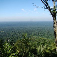
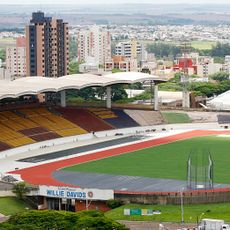
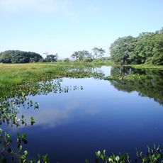
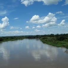
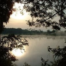
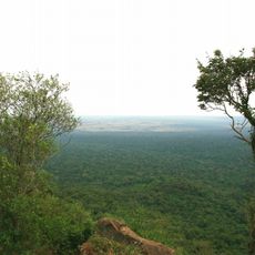
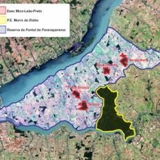
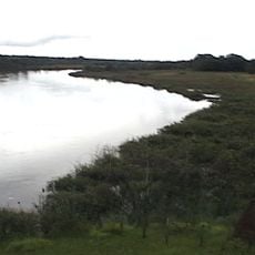
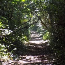
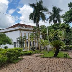
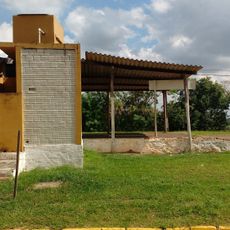
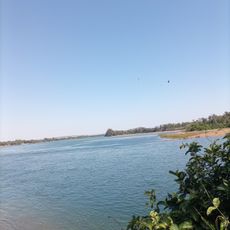
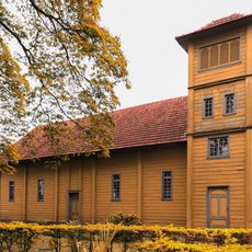
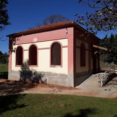
Teodoro Sampaio is a small municipality in São Paulo state, Brazil, known for its quiet streets and simple way of life. The town sits between the Paraná and Paranapanema rivers and features green spaces such as Morro do Diabo State Park with walking trails, as well as public areas like the Pioneers Square and Zerão Park.
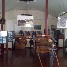
The town was founded in the early 1950s by José Miguel de Castro Andrade and Odilon Ferreira and named after geographer Theodoro Fernandes Sampaio. Development was tied to agriculture, as farmers began cultivating coffee plantations from the 1920s onward, later growing corn, cotton, and sugarcane.
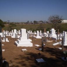
The town is named after geographer Theodoro Fernandes Sampaio, who mapped the region generations ago. Local traditions like rodeos, fishing festivals, and folk processions bring the community together and reflect the deep connection to rural life and the land.
The town is easy to navigate by bus, with connections linking main attractions like parks and the Pioneers Square. To visit the Morro do Diabo protected area, plan ahead as daily visitor numbers are limited.
The protected area is home to the world's largest population of the rare black lion tamarin, a small monkey that is difficult to spot. The town lies in the Pontal Paulista tourism region and has attracted growing numbers of visitors since 2009 seeking natural beauty and quiet.
The community of curious travelers
AroundUs brings together thousands of curated places, local tips, and hidden gems, enriched daily by 60,000 contributors worldwide.