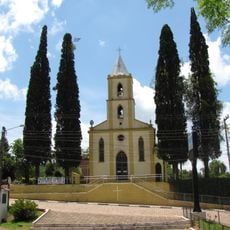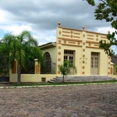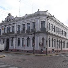
Lagoa dos Patos, Coastal lagoon in Rio Grande do Sul, Brazil.
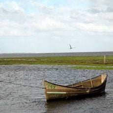
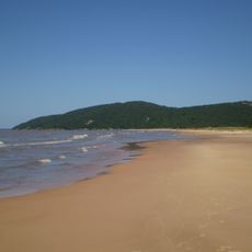
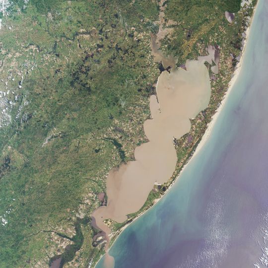
Lagoa dos Patos is a choked coastal lagoon in Rio Grande do Sul, Brazil, running northeast to southwest parallel to the Atlantic, from which it is separated by a sandbar about 8 km wide. It measures 290 km long and up to 71 km wide, with an average depth of nearly 6 m. Its only inlet to the ocean is at Rio Grande, and the Jacuí-Guaíba and Camaquã rivers empty into it.
The lagoon appears on Mercator's 1548 map as an unnamed river mouth, and Dutch cartographer Frederick de Wit recorded the Rio Grande in his 1670 atlas. Nicolaas Visscher linked the name of the Patos Indians to the lagoon in 1698. Around 1720, Azoreans from Laguna settled near São José do Norte to hunt cattle from the missions, leading to the founding of the Forte Jesus, Maria, José and Rio Grande in 1737.
The name is usually linked to the Patos peoples who lived along its shores, though one account claims Spanish ships released ducks here in 1554; historians do not corroborate that story. In the south, artisanal fishing for shrimp and mullet continues, and during droughts saltier water favours those catches over irrigation.
The lagoon is navigable from Rio Grande up to Porto Alegre by vessels drawing up to 5.10 m, with dredging keeping channels open at some points. Strong winds raise short waves and whitecaps across the open water, which is hard on small and medium boats. In the southern half, dry spells can make the water saline, which hurts irrigation but favours artisanal shrimp and mullet fishing.
The waters shift between fresh and brackish conditions throughout the year, with saltwater penetrating far inland when specific wind patterns occur. This ever-changing nature means visitors might encounter very different water types depending on when they arrive.
The community of curious travelers
AroundUs brings together thousands of curated places, local tips, and hidden gems, enriched daily by 92,749 contributors worldwide.