Enable Location

We need your location to show you interesting places around you

Discover nearby places

Find interesting locations and hidden gems around you

Precise directions

Get accurate directions and distances to places

Your location is never shared with other users. It's only used when you tap the location button.

Serra do Tabuleiro State Park

Log in to your account

Start exploring — it's free

Trusted by 62,056 travelers worldwide

Continue with Google
Continue with Apple
or

We will send you a code to connect

By continuing, you accept our Terms and Conditions and our Privacy Policy

Check your inbox

We've sent a pincode in your inbox. Please enter the code below.

Serra do Tabuleiro State Park

Serra do Tabuleiro State Park, State park in Santa Catarina, Brazil

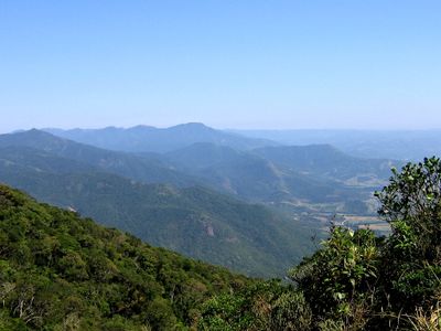
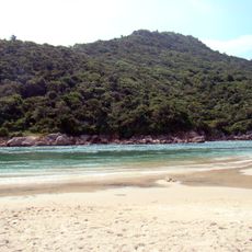
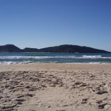
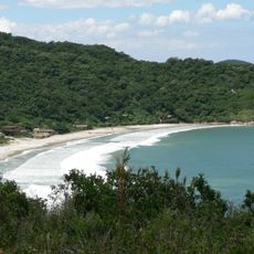
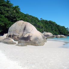
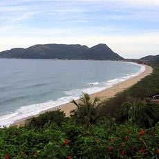
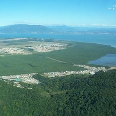
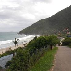
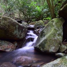
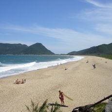
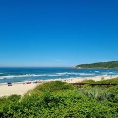
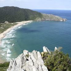
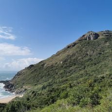
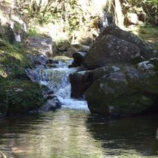
Serra do Tabuleiro State Park is a large protected area spanning more than 80,000 hectares of Atlantic Forest, connecting mountain ranges, coastal islands, and several river watersheds in the Florianópolis region. The territory comprises different habitats, from high forests to mangrove wetlands and sandy coastal areas.

The protected area was established in 1975 to safeguard water sources for regional communities and preserve forest coverage in a rapidly developing region. This early conservation effort protected a large ecosystem from destruction due to urban expansion and resource extraction.

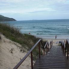
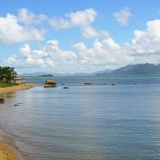
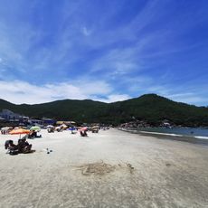
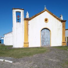
Fishing families in the region continue traditional practices in designated areas of the park, maintaining ways of life that have shaped this landscape for generations. These activities remain deeply connected to both the forest and coastal zones that sustain local communities.

The visitor center in Palhoça offers guided trails, educational programs, and park information from Wednesday through Sunday between 9 AM and 5 PM. Bring sturdy shoes and rain protection, as the trails pass through forest areas where weather can change quickly.

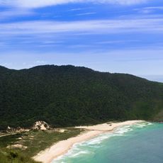
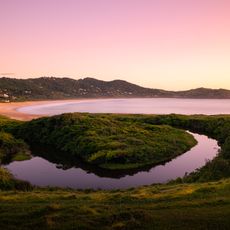
The Baixada do Maciambu formation displays circular sand ridges that document historical sea level changes across geological timescales. These uncommon formations give visitors insight into the coast's natural history and how the landscape has shifted over time.

The community of curious travelers

AroundUs brings together thousands of curated places, local tips, and hidden gems, enriched daily by 60,000 contributors worldwide.

Start exploring
Operator
Instituto do Meio Ambiente de Santa Catarina
GPS coordinates
-27.96225,-48.82168
Latest update
December 9, 2025 18:47
« Serra do Tabuleiro State Park - State park in Santa Catarina, Brazil » is provided by Around Us (aroundus.com). Images and texts are derived from Wikimedia project under a Creative Commons license. You are allowed to copy, distribute, and modify copies of this page, under the conditions set by the license, as long as this note is clearly visible.

Discover hidden gems everywhere you go!

From secret cafés to breathtaking viewpoints, skip the crowded tourist spots and find places that match your style. Our app makes it easy with voice search, smart filtering, route optimization, and insider tips from travelers worldwide. Download now for the complete mobile experience.

Around Us App Screenshot

A unique approach to discovering new places

Le Figaro

All the places worth exploring

France Info

A tailor-made excursion in just a few clicks

20 Minutes

Around Us
Travel Guide & Maps
Download

Send to your phone

QR Code
1

Open the camera app on your mobile.

2

Point at the QR code with your camera. A notification will appear.

3

Tap the notification to open the link.