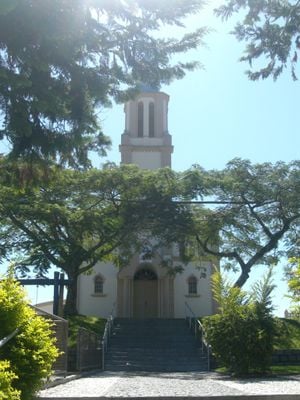
Águas Mornas, Municipality in Santa Catarina, Brazil
Águas Mornas is a municipality in southern Santa Catarina state located at roughly 70 meters elevation. The town covers approximately 327 square kilometers and functions as a regional administrative center.
The municipality was officially established on December 29, 1961, beginning its administrative independence. This founding enabled the development of local government structures in the Santa Catarina region.
The residents of Águas Mornas, known as água-mornenses, participate in regular municipal conferences addressing community development and educational initiatives throughout the year.
The town has a health station offering basic medical care equipped with modern technological resources. As a smaller municipality, it is easy to navigate on foot and straightforward to explore.
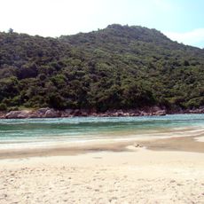
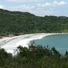
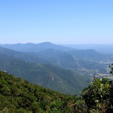
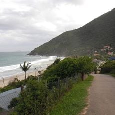
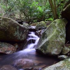
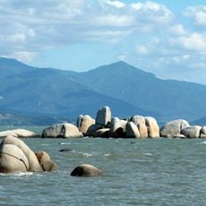
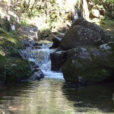
The area contains portions of the Rio das Lontras Private Natural Heritage Reserve and Serra do Tabuleiro State Park, which serve water protection functions for nearby Florianópolis. These protected zones make the region an important part of the larger metropolitan area's environmental infrastructure.
The community of curious travelers
AroundUs brings together thousands of curated places, local tips, and hidden gems, enriched daily by 60,000 contributors worldwide.