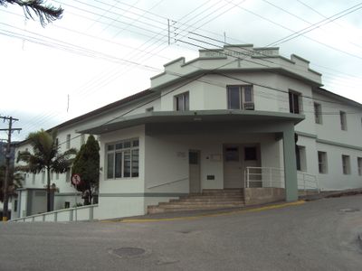
Santo Amaro da Imperatriz, Administrative division in Santa Catarina, Brazil
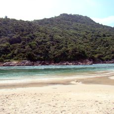
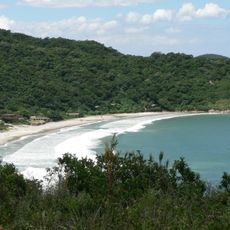
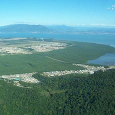
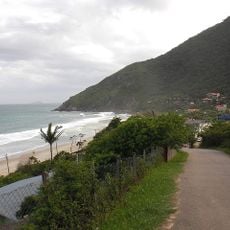
Santo Amaro da Imperatriz is an administrative division in Santa Catarina with urban areas and natural reserves. The region shifts between developed zones and preserved forest landscapes.
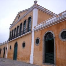
The municipality was established in 1958 and grew from a small settlement into a regional administrative center. This transformation shows how the place gained importance over time.
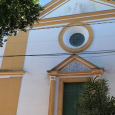
The Festival of the Holy Spirit and the Corn Festival are important celebrations that gather residents throughout the year. These events shape community life and reflect traditions that matter to local people.
The area lies about 500 kilometers from São Paulo and connects easily to larger cities through the BR-282 highway. The road makes traveling to nearby towns and attractions straightforward.
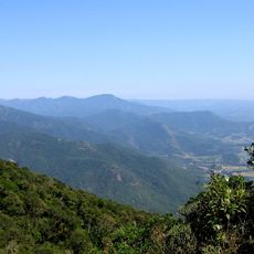
The area contains parts of Serra do Tabuleiro State Park, which protects the water sources for the Florianópolis metropolitan region. This natural role makes it an important water reservoir for the wider area.
Location: Santa Catarina
Inception: July 10, 1958
Elevation above the sea: 402 m
Shares border with: Paulo Lopes, Águas Mornas, Palhoça, São Bonifácio, São José, São Pedro de Alcântara
Website: http://santoamaro.sc.gov.br
GPS coordinates: -27.68778,-48.77889
Latest update: December 7, 2025 10:06
Hercilio Luz Bridge
23.4 km
Guarda do Embaú
30.7 km
Colombo Salles Bridge
23.4 km
Pedro Ivo Campos bridge
23.3 km
Praia dos Naufragados
26.8 km
Serra do Tabuleiro State Park
30.8 km
Mercado Público de Florianópolis
24.5 km
Fortaleza de Nossa Senhora da Conceição de Araçatuba
26.4 km
Praia da Armação
27.4 km
Pirajubaé Marine Extractive Reserve
25 km
Praia da Tapera
20.8 km
Forte de Santana do Estreito
23.7 km
Edifício da Alfândega
24.5 km
Praia dos Açores
27.4 km
Praia do Saquinho
27.2 km
Praia da Solidão
26.9 km
Igreja Matriz de São José
16.9 km
Forte de Santa Bárbara da Vila
24.6 km
Antiga Casa de Câmara e Cadeia
24.7 km
Lagoa do Peri Natural Monument
25.2 kmPraia do Cedro
17.5 km
Iglesia de Nuestra Señora de Fátima y Santa Filomena
17.4 km
Forte de Nossa Senhora da Lapa do Ribeirão da Ilha
21.4 km
Praia do Pãntano do Sul
27.5 km
Praia do Itaguaçu
20.2 km
Conjunto do Centro Histórico
24.7 km
Estádio Renato Silveira
12.2 km
Praia dos Naufragados
26.8 kmVisited this place? Tap the stars to rate it and share your experience / photos with the community! Try now! You can cancel it anytime.
Discover hidden gems everywhere you go!
From secret cafés to breathtaking viewpoints, skip the crowded tourist spots and find places that match your style. Our app makes it easy with voice search, smart filtering, route optimization, and insider tips from travelers worldwide. Download now for the complete mobile experience.
A unique approach to discovering new places❞
— Le Figaro
All the places worth exploring❞
— France Info
A tailor-made excursion in just a few clicks❞
— 20 Minutes