Cambirela, Mountain in Santa Catarina, Brazil.
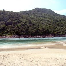
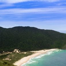
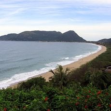
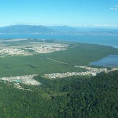
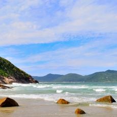
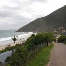
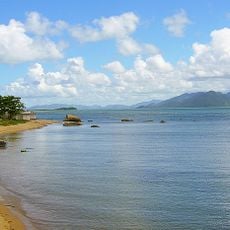
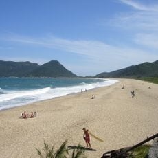
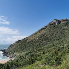
Cambirela is a mountain in Palhoça, Santa Catarina, reaching 1,052 m at its southern peak, the highest point of the municipality and the region. It rises almost from sea level inside Serra do Tabuleiro State Park and overlooks the Baía Sul. Its rocks are granite and basalt, with Atlantic Forest up to about 800 m and grasslands above.
The first recorded ascent took place in 1934, when the mountain was believed to be 1,553 m high. Until the 1980s the trails served mainly exploratory and scientific purposes, after which recreational hiking became more frequent. On 6 June 1949 a Douglas C-47 of the Correio Aéreo Nacional, flight 2023 from Florianópolis to Porto Alegre, struck the mountain; all 26 occupants died, the worst Brazilian aviation accident up to then.
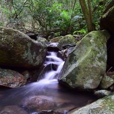
The name Cambirela comes from Tupi-Guarani kambi, "breasts of milk", and reya, "many", likely referring to the massif's several peaks and its clouds and waterfalls. In 1941 the neighbouring town of Santo Amaro was renamed Cambirela under a decree removing duplicate place names, but residents rejected it in a plebiscite and kept Santo Amaro da Imperatriz in 1948.
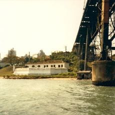
Two trailheads leave from BR-101: one just past the bridge over the Cubatão river on Rua Jacob Vilain Filho, the other at kilometre 222. The walk to the top takes about three hours, and the highest point reached by the regular trail is 980 m on the north ridge, below the 1,052 m summit. Hikers often get lost and are rescued by helicopter, so go with a guide.
Snow is rare on Cambirela but was recorded in 1942, 1984 and 2013; that August night left ice on the Serra do Tabuleiro peaks until 14h, and locals nicknamed the white summits "Alpes Palhocenses" or "Barilhoça". The first recorded ascent was in 1934, when the mountain was believed to be 1,553 m high.
The community of curious travelers
AroundUs brings together thousands of curated places, local tips, and hidden gems, enriched daily by 94,111 contributors worldwide.