Pico Caratuva, Granite mountain in Serra do Mar, Brazil
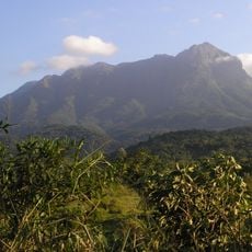
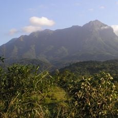
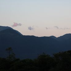
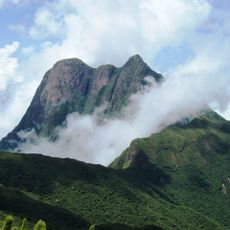
Pico Caratuva is a 1,860-metre summit in the municipality of Antonina, Paraná, southern Brazil, about 1,100 km south of Brasília. It belongs to the Serra do Ibitiraquire range and is the highest point in its area. The surrounding terrain is hilly to the northwest and mountainous to the southeast, covered mainly by evergreen broadleaf forest.
Pico Caratuva lies in the municipality of Antonina, Paraná, and forms part of the Serra do Ibitiraquire range. At 1,860 metres it is the highest point in its immediate surroundings, about 1,100 km south of Brasília. The slopes around the summit are covered mainly by evergreen broadleaf forest.
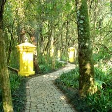
The peak lies in the municipality of Antonina, in the Serra do Ibitiraquire range, and the surrounding area is very sparsely populated, with about 4 inhabitants per square kilometre. The slopes are covered mainly by evergreen broadleaf forest, the vegetation a visitor walks through on the approach.
Access is via the marked Trilha Caratuva trail, which requires good footwear and basic fitness. It is important to check weather conditions before starting, as rain and fog can make the route more challenging.
Pico Caratuva is the highest point in its immediate area, rising to 1,860 metres in the Serra do Ibitiraquire, part of the larger Serra do Mar range. It lies in the municipality of Antonina, about 1,100 kilometres south of Brasília, in a sparsely populated district of evergreen broadleaf forest.
The community of curious travelers
AroundUs brings together thousands of curated places, local tips, and hidden gems, enriched daily by 94,474 contributors worldwide.