Tomazina, Administrative municipality in northern Paraná, Brazil
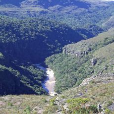
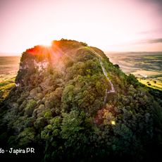
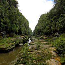
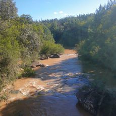
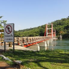
Tomazina is a municipality in northern Paraná, Brazil, situated in a hilly region at about 541 meters (1,775 feet) elevation. The Rio das Cinzas river runs through the municipal territory and shapes the natural landscape of this rural area.
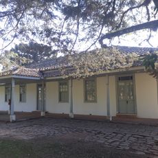
Tomazina originated as part of the settlement wave that reached northern Brazil in the 1900s, when people began opening up the Paraná frontier. The municipality developed alongside other towns in this pioneer region and represents the gradual expansion into previously underdeveloped areas.
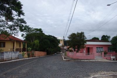
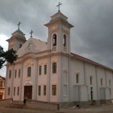
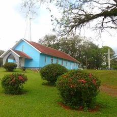
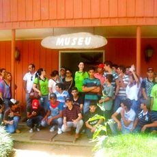
The central plaza serves as a gathering place where local residents come together for festivals and regional food celebrations that express community traditions. These events shape the social rhythm and show how people maintain connection to their roots through shared occasions.
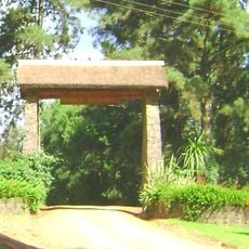
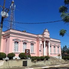
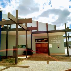
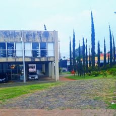
The municipal administration is located at Praça Tenente João José Ribeiro and provides various public services and administrative functions for residents and visitors. It's best to visit the central areas during regular business hours when services are fully available.
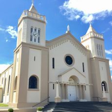
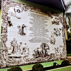
The region holds archaeological findings of religious artifacts connected to a third-century Italian saint. These discoveries make the area noteworthy for those interested in religious history and local archaeology.
Location: Paraná
Elevation above the sea: 541 m
Shares border with: Siqueira Campos, Pinhalão, Arapoti, Conselheiro Mairinck, Guapirama, Jaboti, Quatiguá, Wenceslau Braz
Website: http://tomazina.pr.gov.br
GPS coordinates: -23.77778,-49.95000
Latest update: December 10, 2025 15:54
Guartelá Canyon
91.8 km
Guartelá State Park
92.7 km
Telêmaco Borba Cable Car
90 km
Fazenda Velha
72.6 km
Pico Agudo
25.1 km
Alves Lima bridge
78.5 km
Cerrado State Park
52.6 km
Parish Church of Piraí do Sul
84.1 km
Parque Ecológico Samuel Klabin
86.1 km
Piraí do Sul National Forest
80.6 km
Jaguariaíva River Canyon
52.4 km
Alegre River
77.7 km
Teatro Municipal de Telêmaco Borba
92.4 km
Natural History Museum of Cornélio Procópio
97.7 km
Igreja Matriz da Paróquia Nossa Senhora dos Remédios de Tibagi
94.5 km
Imóvel do antigo Grupo Escolar Telêmaco Borba e Reservatório de Água
94.5 km
Memorial do Garimpo
94.5 km
Cemetery of Harmonia
86.9 km
Estação Ferroviária de Jaguariaíva
58.4 km
Ponte Pênsil de Chavantes
78.5 km
Teatro Municipal Tia Inália
94.4 km
Capela de Nossa Senhora do Perpétuo Socorro de Harmonia (Telêmaco Borba)
88 km
Cemetery São Marcos (Telêmaco Borba)
91.7 km
Biblioteca Pública Municipal de Telêmaco Borba
92.4 km
Centro de Interpretação da Natureza Frans Krajcberg
86 km
Estádio Municipal Péricles Pacheco da Silva
92.7 km
Casa da Cidade Tibagi
94.5 km
Museu da Fauna e da Flora
86.1 kmVisited this place? Tap the stars to rate it and share your experience / photos with the community! Try now! You can cancel it anytime.
Discover hidden gems everywhere you go!
From secret cafés to breathtaking viewpoints, skip the crowded tourist spots and find places that match your style. Our app makes it easy with voice search, smart filtering, route optimization, and insider tips from travelers worldwide. Download now for the complete mobile experience.
A unique approach to discovering new places❞
— Le Figaro
All the places worth exploring❞
— France Info
A tailor-made excursion in just a few clicks❞
— 20 Minutes