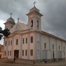
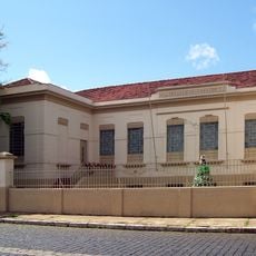
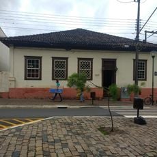
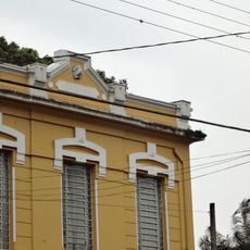
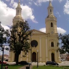
Sengés, Municipality in Paraná, Brazil.
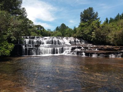
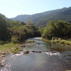
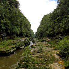
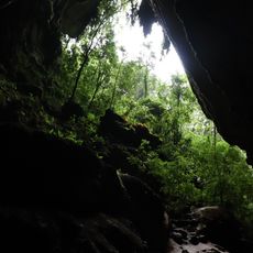
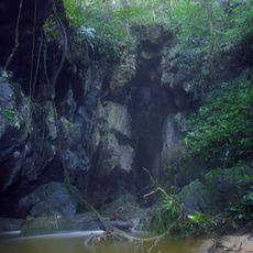
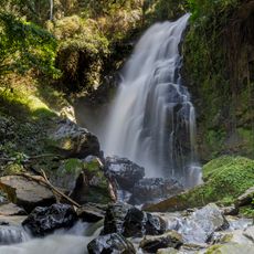
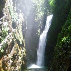
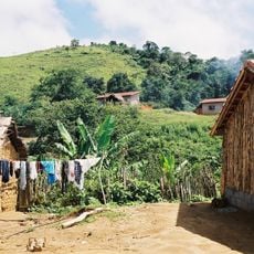
Sengés is a municipality in the state of Paraná in southern Brazil, situated at approximately 900 meters elevation in a hilly region. The area features green landscapes and varied terrain typical of the southern Brazilian highlands.
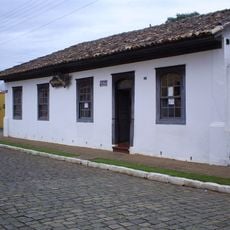
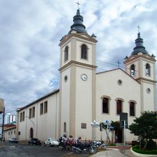
Sengés developed as a municipality within Brazil's administrative system and became part of the regional structure that characterizes Paraná. Its growth followed patterns typical of rural settlements that emerged in southern Brazil over the past centuries.
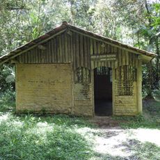
Local residents of Sengés maintain traditional practices that reflect both the indigenous heritage and settler influences that shaped the Paraná state over generations.
The best time to visit is during the drier months when roads are more accessible and weather is more stable. Visitors should bring appropriate clothing for the higher elevation, as temperatures are cooler than in lower-lying regions.
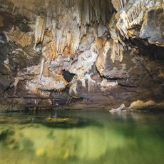
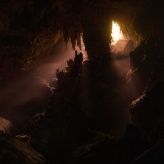
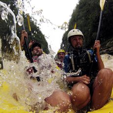
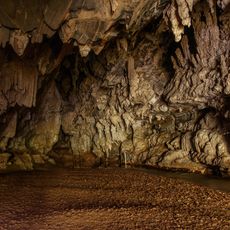
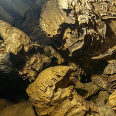
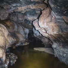
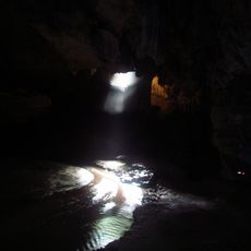
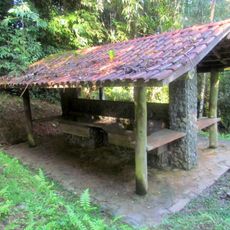
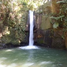
Natural features around Sengés include numerous hiking trails and outdoor recreational areas that take advantage of the municipality's elevated position in Paraná.
The community of curious travelers
AroundUs brings together thousands of curated places, local tips, and hidden gems, enriched daily by 60,000 contributors worldwide.