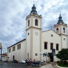
Siqueira Campos, Municipality in Norte Pioneiro Paranaense region, Brazil
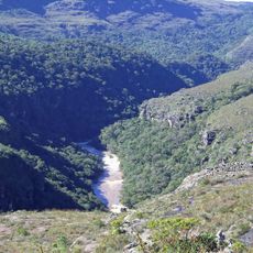
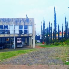
Siqueira Campos is a municipality in the Norte Pioneiro Paranaense region of Paraná state, Brazil. It sits at roughly 759 meters elevation and covers approximately 278 square kilometers.
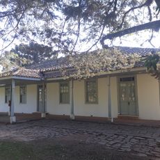
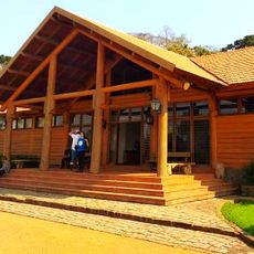
The municipality emerged during Paraná state's territorial expansion and became an important administrative hub in the Norte Pioneiro region. This development shaped its role as a local center.
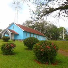
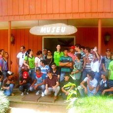
Residents here, known as siqueirenses, maintain strong community bonds through regular gatherings and yearly municipal celebrations. These events shape the social life and reflect the solidarity that defines the community.
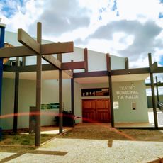
The municipal administration offers online access to tax payments, public services information, and transparency portals through its official website. Visitors can find information about local services and administrative matters there.
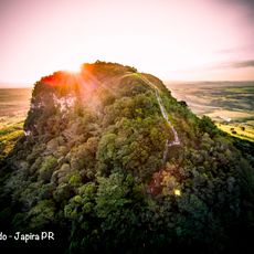
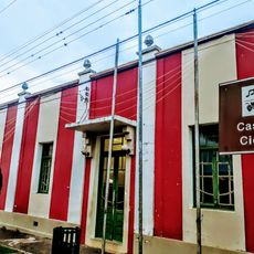
The municipality received the Diamond Seal from SEBRAE and ranks among the best locations for quality of life in Paraná. This recognition honors the efforts toward local development and resident well-being.
Location: Paraná
Elevation above the sea: 759 m
Shares border with: Carlópolis, Tomazina, Joaquim Távora, Quatiguá, Salto do Itararé, Santana do Itararé, Wenceslau Braz
Website: http://siqueiracampos.pr.gov.br
GPS coordinates: -23.68889,-49.83389
Latest update: December 7, 2025 19:29
Guartelá Canyon
105.5 km
Guartelá State Park
106.3 km
Telêmaco Borba Cable Car
105.4 km
Fazenda Velha
87.9 km
Pico Agudo
37.5 km
Alves Lima bridge
66.3 km
Cerrado State Park
56.1 km
Parish Church of Piraí do Sul
94.5 km
Parque Ecológico Samuel Klabin
101.5 km
Piraí do Sul National Forest
91.9 km
Jaguariaíva River Canyon
55.8 km
Alegre River
92.8 km
Teatro Municipal de Telêmaco Borba
107.8 km
(Histórico) Estação Ferroviária
101 km
Natural History Museum of Cornélio Procópio
100.9 km
Igreja Matriz da Paróquia Nossa Senhora dos Remédios de Tibagi
109 km
Cemetery of Harmonia
102.3 km
Estação Ferroviária de Jaguariaíva
64.3 km
Ponte Pênsil de Chavantes
66.3 km
Cathedral of St. Ann, Itapeva
102.9 km
Teatro Municipal Tia Inália
109 km
Capela de Nossa Senhora do Perpétuo Socorro de Harmonia (Telêmaco Borba)
103.4 km
Cemetery São Marcos (Telêmaco Borba)
107.1 km
Biblioteca Pública Municipal de Telêmaco Borba
107.8 km
Centro de Interpretação da Natureza Frans Krajcberg
101.4 km
Estádio Municipal Péricles Pacheco da Silva
108.1 km
Casa da Cidade Tibagi
109 km
Museu da Fauna e da Flora
101.5 kmVisited this place? Tap the stars to rate it and share your experience / photos with the community! Try now! You can cancel it anytime.
Discover hidden gems everywhere you go!
From secret cafés to breathtaking viewpoints, skip the crowded tourist spots and find places that match your style. Our app makes it easy with voice search, smart filtering, route optimization, and insider tips from travelers worldwide. Download now for the complete mobile experience.
A unique approach to discovering new places❞
— Le Figaro
All the places worth exploring❞
— France Info
A tailor-made excursion in just a few clicks❞
— 20 Minutes