Pacaembu, Municipality in São Paulo state, Brazil.
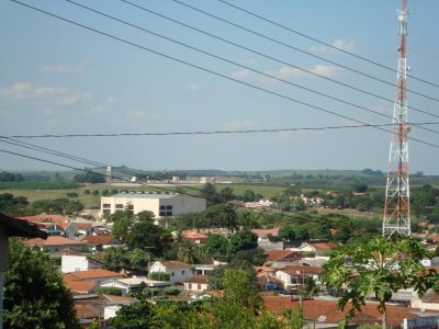
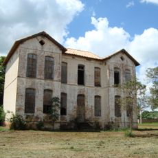
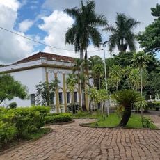
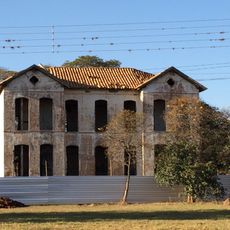
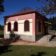
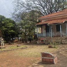
Pacaembu is a municipality in São Paulo state positioned at about 415 meters above sea level. The area extends across a predominantly rural landscape with small settlements and open land.
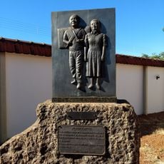
The municipality received its official recognition through state legislation in 1948. This established it as a distinct administrative unit within São Paulo.
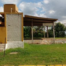
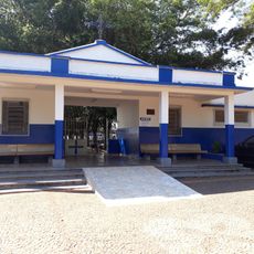
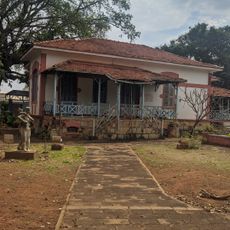
The town has deep religious roots with a significant Catholic community under the Diocese of Marília and several evangelical churches that shape daily life. These faith communities are visible in the churches and chapels scattered throughout the town.
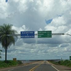
The area is best explored by car given its rural setting and spread-out layout. Visitors should plan routes ahead or use a map to navigate between different neighborhoods effectively.
The telecommunications network was taken over by Telefónica in 1998 and now operates under the Vivo brand. This transition brought modern communication services to the region.
The community of curious travelers
AroundUs brings together thousands of curated places, local tips, and hidden gems, enriched daily by 60,000 contributors worldwide.