Piracicaba

Log in to your account

AroundUs is a community-driven map of interesting places, built by curious explorers like you. It grows with every review, story, and photo you share.
Connect to save your favorite spots, contribute locations, and create personalized routes.
Continue with Google
Continue with Apple
Continue with X
Continue with Facebook
Continue with email
By continuing, you accept our Terms and Conditions and our Privacy Policy
Create an account
Add to collection
Map
Suggest a change
Share

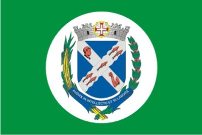
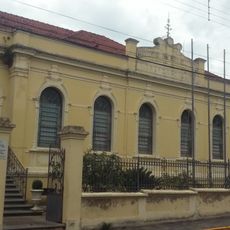
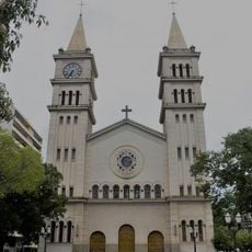
Piracicaba, Municipality in São Paulo state, Brazil

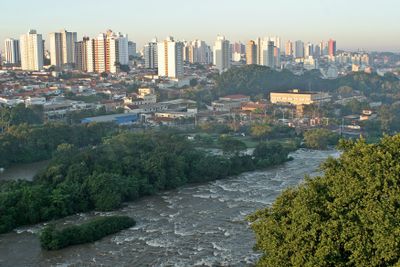
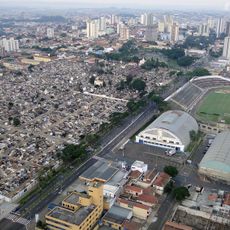
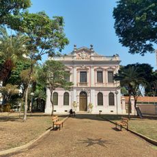
Piracicaba is a large city in the east-central highlands of São Paulo state, sitting at around 472 meters above sea level. It covers 1,378 square kilometers and blends industrial districts with residential neighborhoods along the river.

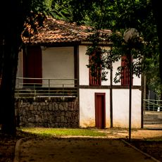
The settlement began in 1767 as a small village under Itu jurisdiction and gained city status in 1856 after becoming independent. The founding of an agricultural school in 1901 transformed the local economy and drew students from across Brazil.

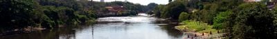
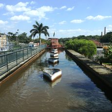
The name comes from the Tupi language and means "place where the fish stops," referencing waterfalls that once blocked fish from swimming upstream. This indigenous origin reflects the river's central role in shaping local identity and everyday life.

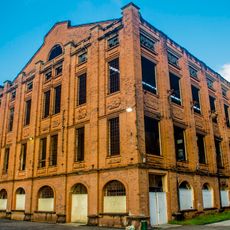
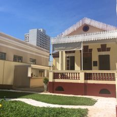
Major industries including Caterpillar, ArcelorMittal, and Hyundai operate manufacturing facilities here, providing jobs for the roughly 423,000 residents. Visitors will find hotels, restaurants, and shops scattered across different neighborhoods along the river.

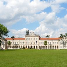
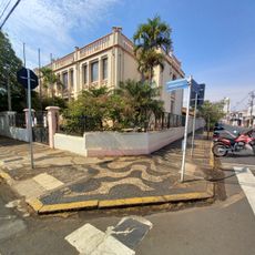
The Luiz de Queiroz School of Agriculture, founded in 1901, was Brazil's first agricultural university and still shapes the city's academic atmosphere today. Students from all over the country come here to specialize in agronomy and related fields.

Location: São Paulo

Inception: 1767

Elevation above the sea: 472 m

Shares border with: São Pedro, Saltinho, Tietê, Laranjal Paulista, Anhembi, Charqueada, Conchas, Ipeúna, Iracemápolis, Limeira, Rio Claro, Rio das Pedras, Santa Bárbara d'Oeste, Santa Maria da Serra

Website: http://piracicaba.sp.gov.br

GPS coordinates: -22.72517,-47.64933

Latest update: December 16, 2025 01:42

Photos
Reviews

Visited this place? Tap the stars to rate it and share your experience / photos with the community! Try now! You can cancel it anytime.

« Piracicaba - Municipality in São Paulo state, Brazil » is provided by Around Us (aroundus.com). Images and texts are derived from Wikimedia project under a Creative Commons license. You are allowed to copy, distribute, and modify copies of this page, under the conditions set by the license, as long as this note is clearly visible.

Discover hidden gems everywhere you go!

From secret cafés to breathtaking viewpoints, skip the crowded tourist spots and find places that match your style. Our app makes it easy with voice search, smart filtering, route optimization, and insider tips from travelers worldwide. Download now for the complete mobile experience.

Around Us App Screenshot

A unique approach to discovering new places

Le Figaro

All the places worth exploring

France Info

A tailor-made excursion in just a few clicks

20 Minutes