Votorantim, Administrative division in São Paulo state, Brazil
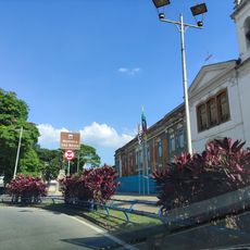
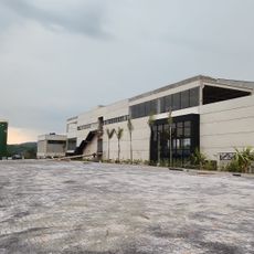
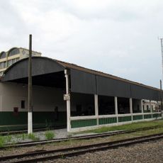
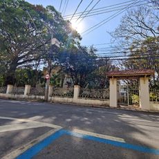
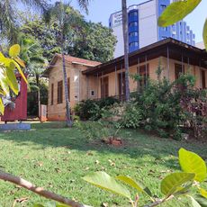
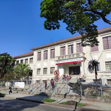
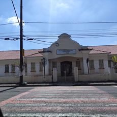
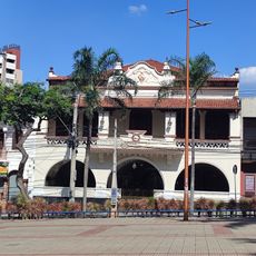
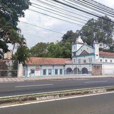
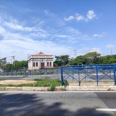
Votorantim is a municipality in São Paulo state and serves as an important administrative center within the network of local jurisdictions. The city is connected by major highways to neighboring towns and contains extensive public facilities, schools, and industrial zones.
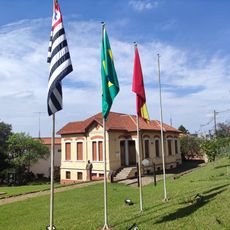
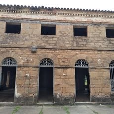
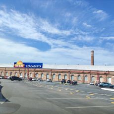
The municipality was established in the 19th century during a period of rapid industrial growth in the São Paulo region. This development intertwined its role as an administrative center with growing economic importance.
The name Votorantim comes from the Tupi language and means 'place of many streams', reflecting the indigenous roots of the region. This naming tradition remains connected to the water sources that shape the local landscape.
The city is easily accessible by major highways and offers extensive public transportation and services for visitors and commuters. Industrial areas and public spaces are spatially separated, making navigation straightforward.
Despite intensive industrial development, the area has preserved its natural waterways, which remain visible and shape the local landscape. This coexistence of factories and original streams is uncommon in heavily industrialized regions.
Location: São Paulo
Elevation above the sea: 557 m
Shares border with: Alumínio, Salto de Pirapora, Ibiúna, Piedade, Sorocaba
Phone: +109798
Website: http://votorantim.sp.gov.br
GPS coordinates: -23.54694,-47.43778
Latest update: December 10, 2025 20:01
Aramar Experimental Center
24.3 km
Municipal Zoological Park Quinzinho de Barros
4.8 km
Real Fábrica de Ferro São João de Ipanema
21.2 km
Estádio Municipal Walter Ribeiro
6.5 km
Sorocaba Metropolitan Cathedral
5.6 km
Mosteiro de São Bento
5.5 km
Igreja do Bom Jesus do Bonfim das Águas Vermelhas
4.7 km
Floresta Nacional de Ipanema
22.9 km
Estádio Humberto Reale
6.5 km
Biblioteca Municipal de Sorocaba
7.6 km
Monastère byzantin des fils et filles miséricordieux de la Croix
2 km
Museu Ferroviário de Sorocaba
5.8 km
Dream Car Museum
29.1 km
Altos fornos
21.3 km
Mercado Municipal
5.9 km
History Institute, Geographical and Genealogical of Sorocaba
5.1 km
EstaçãoPaula Souza
5.7 km
E.E. Antonio Padilha
5.7 km
Chalé Francês
5.9 km
Antigo Fórum
5.4 km
Coreto da Praça Pio XII
6.8 km
Fábrica Santa Rosália
6.4 km
Colégio Rubens de Faria
4.8 km
Antigo Hospital São Severino e Capela
7 km
Sorocaba Clube
5.5 km
Sorocabana 10
6 km
Capela Nosso Senhor do Bonfim
4.7 km
Usina a Diesel da Cianê
5.8 kmVisited this place? Tap the stars to rate it and share your experience / photos with the community! Try now! You can cancel it anytime.
Discover hidden gems everywhere you go!
From secret cafés to breathtaking viewpoints, skip the crowded tourist spots and find places that match your style. Our app makes it easy with voice search, smart filtering, route optimization, and insider tips from travelers worldwide. Download now for the complete mobile experience.
A unique approach to discovering new places❞
— Le Figaro
All the places worth exploring❞
— France Info
A tailor-made excursion in just a few clicks❞
— 20 Minutes