Franco da Rocha, Administrative municipality in Metropolitan Region of São Paulo, Brazil.
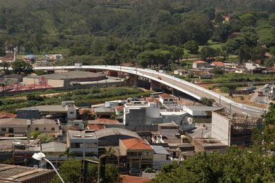
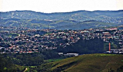
Franco da Rocha is a city in the northern metropolitan region of São Paulo, serving as a residential suburb. It consists of several neighborhoods spread across varied terrain with connections to the broader urban area.
The city was founded in 1944 and named after Francisco Franco da Rocha, a psychiatrist from the nearby town of Amparo. It grew as a residential area within the expanding metropolitan region.
The municipality sustains Portuguese as the primary language while integrating various community programs for social development and regional representation within São Paulo state.
The city connects directly to São Paulo via the CPTM Line 7, also known as the Ruby line, allowing straightforward daily travel. Visitors typically arrive by public transport and navigate from the station to neighborhoods and parks.
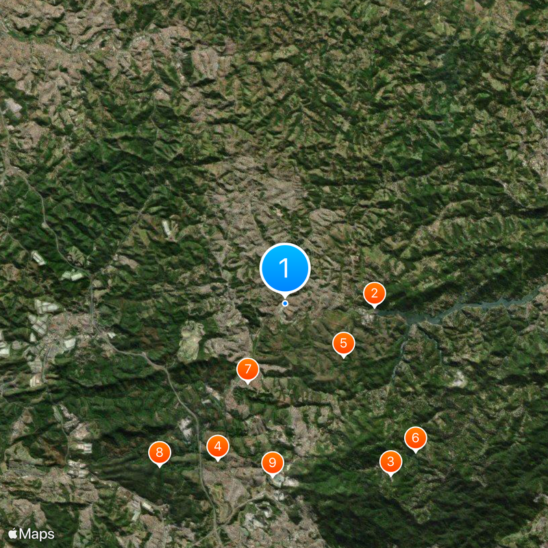
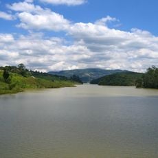
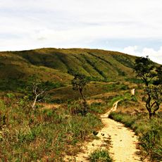
The city encompasses Juqueri State Park, a large nature preserve established in the early 1990s covering around 2,000 hectares. This park offers trails and open areas, creating a green space within the metropolitan sprawl.
Location: São Paulo
Inception: November 30, 1944
Elevation above the sea: 740 m
Shares border with: Francisco Morato, Atibaia, Caieiras, Cajamar, Mairiporã, Campo Limpo Paulista, Jundiaí
Website: http://francodarocha.sp.gov.br
GPS coordinates: -23.32861,-46.72444
Latest update: December 6, 2025 21:25
Pico do Jaraguá
15.1 km
Sistema Cantareira
4.7 km
Juqueri Psychiatric Hospital
1.2 km
Basilica of Our Lady of the Rosary, Caieiras
10.5 km
Albert Löfgren State Park
17.3 km
Cantareira State Park
16 km
Jaraguá State Park
15.2 km
Estádio Jayme Cintra
20.8 km
Brazilian Portland Cement
8.9 km
Our Lady of Exile Cathedral, Jundiaí
22.5 km
Teatro Polytheama
22 km
Juquery State Park
4.1 km
Castelinho de Pirituba
17.9 km
Museu Florestal Octávio Vecchi
16.9 km
Loja Maçônica Amor e Concórdia
22 km
Mother Church Our Lady of Desterro
14 km
Solar do Barão de Jundiaí
22.6 km
Pinacoteca Diógenes Duarte Paes
22 km
Biblioteca Municipal Nelson Foot
22.2 km
Gabinete de Leitura Ruy Barbosa
22.3 km
Carlos Ferracini Municipal Stadium
4.6 km
Pico Olho d'Água
15 km
Grupo Escolar Siqueira de Moraes
21.8 km
Cantareira State Park - Pedra Grande Nucleus
16.7 km
Sobrado à Rua Barão de Jundiaí, 736
22.8 km
Viaduto São João Batista
22.4 km
Pátio do Corredor
10.7 km
Núcleo Águas Claras
14.7 kmVisited this place? Tap the stars to rate it and share your experience / photos with the community! Try now! You can cancel it anytime.
Discover hidden gems everywhere you go!
From secret cafés to breathtaking viewpoints, skip the crowded tourist spots and find places that match your style. Our app makes it easy with voice search, smart filtering, route optimization, and insider tips from travelers worldwide. Download now for the complete mobile experience.
A unique approach to discovering new places❞
— Le Figaro
All the places worth exploring❞
— France Info
A tailor-made excursion in just a few clicks❞
— 20 Minutes