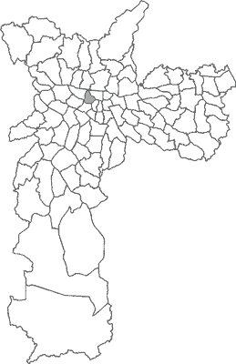
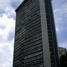
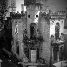
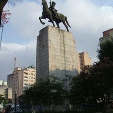
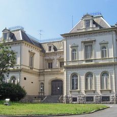
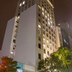
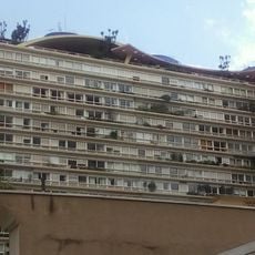
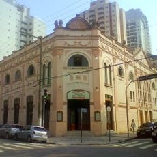
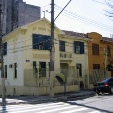
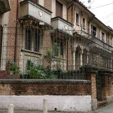
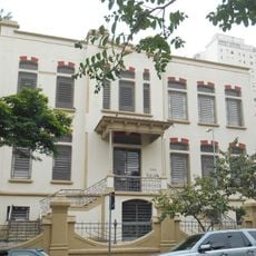
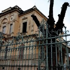
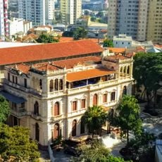
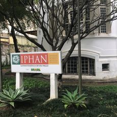
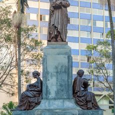
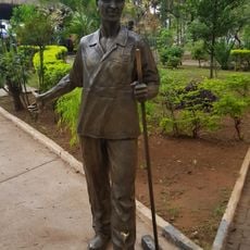
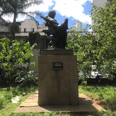
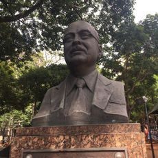
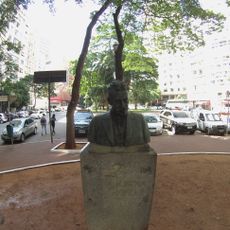
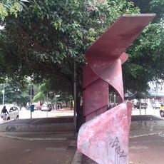
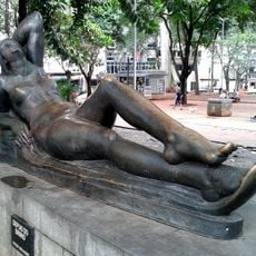
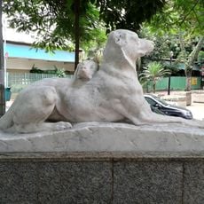
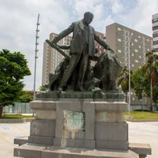
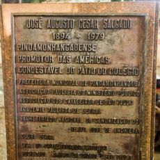
Santa Cecília District, district of São Paulo city
Location: Subprefecture of Sé
Shares border with: Barra Funda District, Bom Retiro District, Consolação District, Perdizes District, República District
Website: http://portal.prefeitura.sp.gov.br/subprefeituras/spse
GPS coordinates: -23.52977,-46.65169
Latest update: March 11, 2025 10:38
Andraus Building
1.6 km
Castelinho da Rua Apa
616 m
Monument to Duque de Caxias
1.1 km
Palace of the Champs Elysees
795 m
Academia Paulista de Letras
1.4 km
Bretagne Building
1.5 km
Teatro São Pedro
398 m
Mário de Andrade House
881 m
Parque Residencial Savóia
366 m
Escola Estadual Conselheiro Antonio Prado
232 m
Casarão da Alameda Cleveland
863 m
Chácara do Carvalho
221 m
Luiz Gama
1.5 km
Museum of Public Health Emílio Ribas
1 km
Desinfectório Central
1 km
Casa de Dona Sebastiana de Souza Queiroz
1 km
Monumento a Luiz Pereira Barreto
643 m
Monumento ao Trabalhador do Asseio, Conservação e Limpeza Urbana
615 m
Chichá do Largo do Arouche
1.4 km
The Indian and the Anteater
624 m
Augustus of Prima Porta replica at Largo do Arouche
1.3 km
José Pedro Leite Cordeiro
1.4 km
Vicente de Carvalho
1.4 km
Progresso
1.4 km
Depois do Banho
1.4 km
Amor Materno
1.5 km
Alfredo Maia
546 m
José Augusto César Salgado
1.4 kmReviews
Visited this place? Tap the stars to rate it and share your experience / photos with the community! Try now! You can cancel it anytime.
Discover hidden gems everywhere you go!
From secret cafés to breathtaking viewpoints, skip the crowded tourist spots and find places that match your style. Our app makes it easy with voice search, smart filtering, route optimization, and insider tips from travelers worldwide. Download now for the complete mobile experience.
A unique approach to discovering new places❞
— Le Figaro
All the places worth exploring❞
— France Info
A tailor-made excursion in just a few clicks❞
— 20 Minutes