Enable Location

We need your location to show you interesting places around you

Discover nearby places

Find interesting locations and hidden gems around you

Precise directions

Get accurate directions and distances to places

Your location is never shared with other users. It's only used when you tap the location button.

Morro da Conceição

Log in to your account

Start exploring — it's free

Trusted by 62,419 travelers worldwide

Continue with Google
Continue with Apple
or

We will send you a code to connect

By continuing, you accept our Terms and Conditions and our Privacy Policy

Check your inbox

We've sent a pincode in your inbox. Please enter the code below.

Morro da Conceição

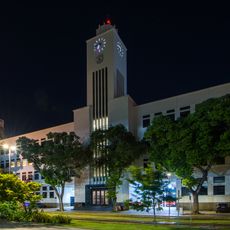
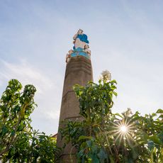
Morro da Conceição, Historic hill in Saúde district, Rio de Janeiro, Brazil

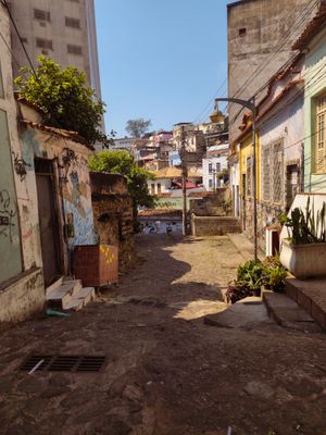
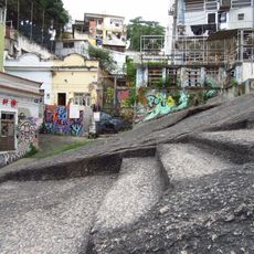
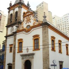
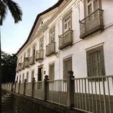
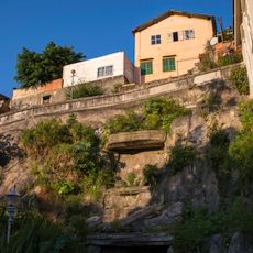
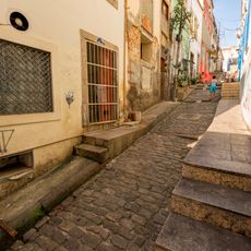
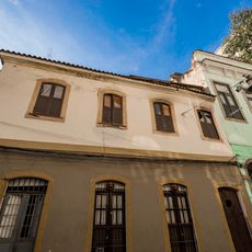
Morro da Conceição is a residential hill in the port district that rises gently above the surrounding waterfront area with its maze of narrow lanes and low colonial structures. The buildings show Portuguese construction styles with whitewashed walls, terracotta roofs, and an organic street layout that follows the natural contours of the slope.

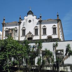
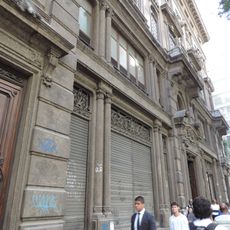
The hill served as one of Rio's earliest focal points during the Portuguese colonial period, growing from the harbor upward as the city developed. The settlement absorbed multiple purposes over time, from residential use to military functions, reflecting the city's changing needs.

The hill's residents gather regularly in its public spaces and support small-scale traditional shops that reflect decades of local commerce. Street life here centers on these everyday meeting points rather than formal cultural institutions.

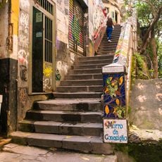
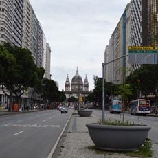
Access is easiest on foot by climbing from the port area, where stairs and narrow pathways lead to the top of the hill. The tight street layout makes navigation straightforward but walking is the only practical way to explore the residential sections fully.

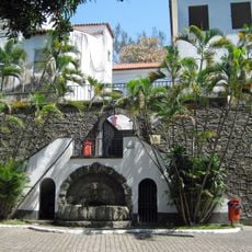
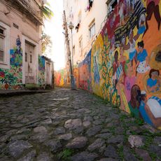
Pedra do Sal, a natural rock formation at the base of the hill, has quietly anchored musical and dance traditions in the neighborhood for generations. Few visitors know this spot holds memories of Rio's popular music culture before it spread across the city.

The community of curious travelers

AroundUs brings together thousands of curated places, local tips, and hidden gems, enriched daily by 60,000 contributors worldwide.

Start exploring
Location
Location
Elevation above the sea
14 m
GPS coordinates
-22.89861,-43.18306
Latest update
December 10, 2025 16:03
« Morro da Conceição - Historic hill in Saúde district, Rio de Janeiro, Brazil » is provided by Around Us (aroundus.com). Images and texts are derived from Wikimedia project under a Creative Commons license. You are allowed to copy, distribute, and modify copies of this page, under the conditions set by the license, as long as this note is clearly visible.

Discover hidden gems everywhere you go!

From secret cafés to breathtaking viewpoints, skip the crowded tourist spots and find places that match your style. Our app makes it easy with voice search, smart filtering, route optimization, and insider tips from travelers worldwide. Download now for the complete mobile experience.

Around Us App Screenshot

A unique approach to discovering new places

Le Figaro

All the places worth exploring

France Info

A tailor-made excursion in just a few clicks

20 Minutes

Around Us
Travel Guide & Maps
Download

Send to your phone

QR Code
1

Open the camera app on your mobile.

2

Point at the QR code with your camera. A notification will appear.

3

Tap the notification to open the link.