Chest opened
+${chestReward.xp} XP
Explorer
NOUVEAU ×${chestReward.collectible.quantity}
tapez pour fermer

See the monuments around you in AR Open chests in the app

Around Us is built for your phone — point your camera at the streets and discover the monuments and places around you in augmented reality. Around Us is built for your phone — chests unlock when you walk, explore and capture nearby places.

•

Enable Location

We need your location to show you interesting places around you

Discover nearby places

Find interesting locations and hidden gems around you

Precise directions

Get accurate directions and distances to places

Your location is never shared with other users. It's only used when you tap the location button.

Elevado da Perimetral

Log in to your account

Start exploring — it's free

Trusted by 94,151 travelers worldwide

Continue with Google
Continue with Apple
or

We will send you a code to connect

By continuing, you accept our Terms and Conditions and our Privacy Policy

Check your inbox

We've sent a pincode in your inbox. Please enter the code below.

Elevado da Perimetral

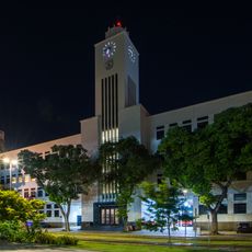
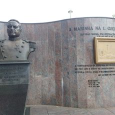
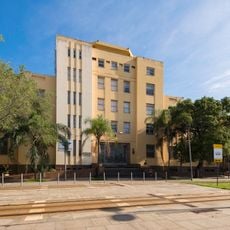
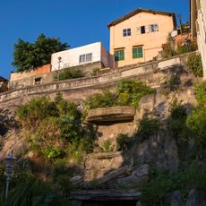
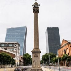
Elevado da Perimetral, Former elevated road in Rio de Janeiro, Brazil

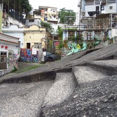
Elevado da Perimetral was a supplementary elevated roadway built over Avenida Rodrigues Alves, linking the Santos Dumont Airport area to the Rio-Niterói Bridge, the Red Line and Avenida Brasil. It crossed Caju, part of São Cristóvão, Santo Cristo, Gamboa and Saúde, carrying an estimated 40,000 vehicles.

Construction began in the 1950s and proceeded in stages. The first section, linking Santos Dumont Airport to the Candelária church, opened in 1960; the second, over Avenida Rodrigues Alves around the port zone, was started in 1968 and opened in 1978. Demolition began in November 2013 and the last implosion took place in April 2014 under the Porto Maravilha project.

The structure created physical separation between neighborhoods and changed how people moved and connected across the city.

The elevated roadway no longer exists: the first section came down in November 2013 and the last implosion took place in April 2014. Its traffic was redirected into the Via Binário do Porto and the Binário and Via Expressa tunnels, so visitors now cross the port area at street level. Look for the former route above Avenida Rodrigues Alves.

During the 2013–2014 demolition, six steel beams valued at about 100,000 reais vanished from the port zone and were never recovered. Before demolition, some critics proposed keeping the structure as hanging gardens or a low-noise monorail linking Santos Dumont and Tom Jobim airports.

The community of curious travelers

AroundUs brings together thousands of curated places, local tips, and hidden gems, enriched daily by 94,151 contributors worldwide.

Start exploring
Location
GPS coordinates
-22.89456,-43.18614
Latest update
October 26, 2026 01:49
Reviews
Share your experience

No review yet

Discussions
Start a discussion...

No discussion yet

« Elevado da Perimetral - Former elevated road in Rio de Janeiro, Brazil » is provided by Around Us (aroundus.com). Images and texts are derived from Wikimedia project under a Creative Commons license. You are allowed to copy, distribute, and modify copies of this page, under the conditions set by the license, as long as this note is clearly visible.

Discover hidden gems everywhere you go!

From secret cafés to breathtaking viewpoints, skip the crowded tourist spots and find places that match your style. Our app makes it easy with voice search, smart filtering, route optimization, and insider tips from travelers worldwide. Download now for the complete mobile experience.
Around Us App Screenshot
❝

A unique approach to discovering new places❞

— Le Figaro

❝

All the places worth exploring❞

— France Info

❝

A tailor-made excursion in just a few clicks❞

— 20 Minutes

Around Us
Travel Guide & Maps
Download

Send to your phone

QR Code
1

Open the camera app on your mobile.

2

Point at the QR code with your camera. A notification will appear.

3

Tap the notification to open the link.