
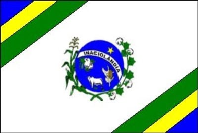
Inaciolândia, municipality of Brazil
Location: Goiás
Elevation above the sea: 442 m
Shares border with: Gouvelândia, Cachoeira Dourada, Bom Jesus de Goiás, Ipiaçu, Ituiutaba, Itumbiara
GPS coordinates: -18.48778,-49.98694
Latest update: March 5, 2025 10:45
Estádio da Serrinha
212.2 km
Estádio Parque do Sabiá
191 km
Rollemberg–Vuolo Road–Railway Bridge
209.6 km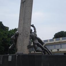
Monumento às Três Raças
215.6 km
Autódromo Internacional Ayrton Senna
214.2 km
Praça Cívica
215.6 km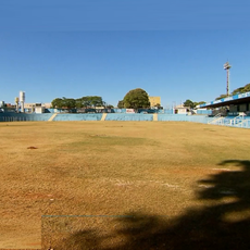
Estádio Annibal Batista de Toledo
201.6 km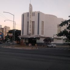
Teatro Goiânia
215.8 km
Affonso Penna bridge
82.7 km
Parque Estadual da Serra de Caldas Novas
155.7 km
Porto de Alencastro bridge
169.8 km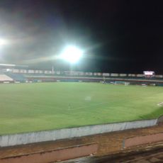
Estádio JK
79 km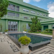
Palácio Pedro Ludovico
215.5 km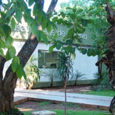
Museu de Arte de Goiânia
215.1 km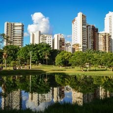
Lago das Rosas
215.1 km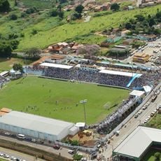
Estádio Genervino da Fonseca
217.9 km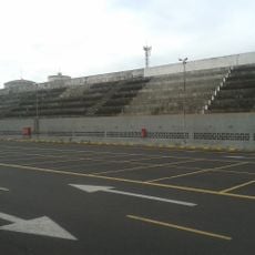
Estádio Juca Ribeiro
186.9 km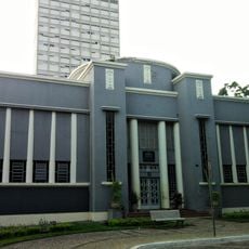
Museu Zoroastro Artiaga
215.7 km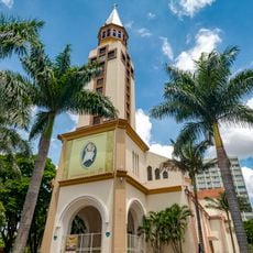
Our Lady Help of Christians Cathedral, Goiânia
215.8 km
Museu Pedro Ludovico Teixeira
215.4 km
Holy Spirit Cathedral, Jataí
195.6 km
Cathedral Our Lady (Votuporanga-SP)
215.2 km
Red Water Museum
172.7 km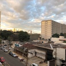
Fórum
214.8 km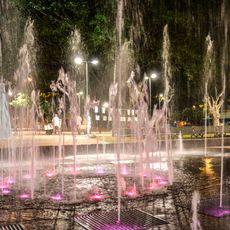
Fontes Luminosas
215.6 km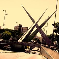
Latif Sebba Viaduct
214.3 km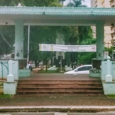
Coreto
215.6 km
Palácio do Governo
215.5 kmReviews
Visited this place? Tap the stars to rate it and share your experience / photos with the community! Try now! You can cancel it anytime.
Discover hidden gems everywhere you go!
From secret cafés to breathtaking viewpoints, skip the crowded tourist spots and find places that match your style. Our app makes it easy with voice search, smart filtering, route optimization, and insider tips from travelers worldwide. Download now for the complete mobile experience.

A unique approach to discovering new places❞
— Le Figaro
All the places worth exploring❞
— France Info
A tailor-made excursion in just a few clicks❞
— 20 Minutes